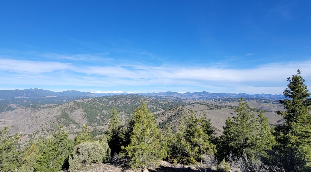
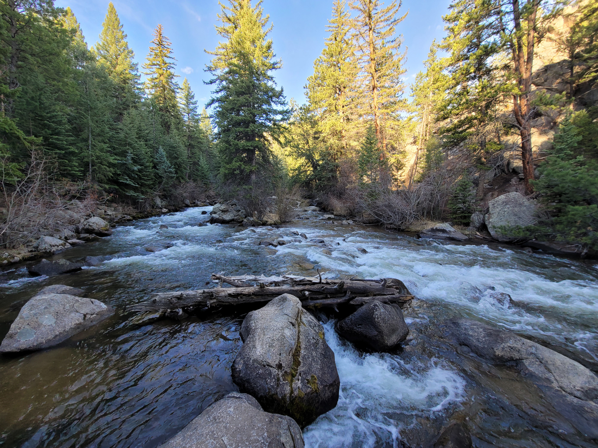
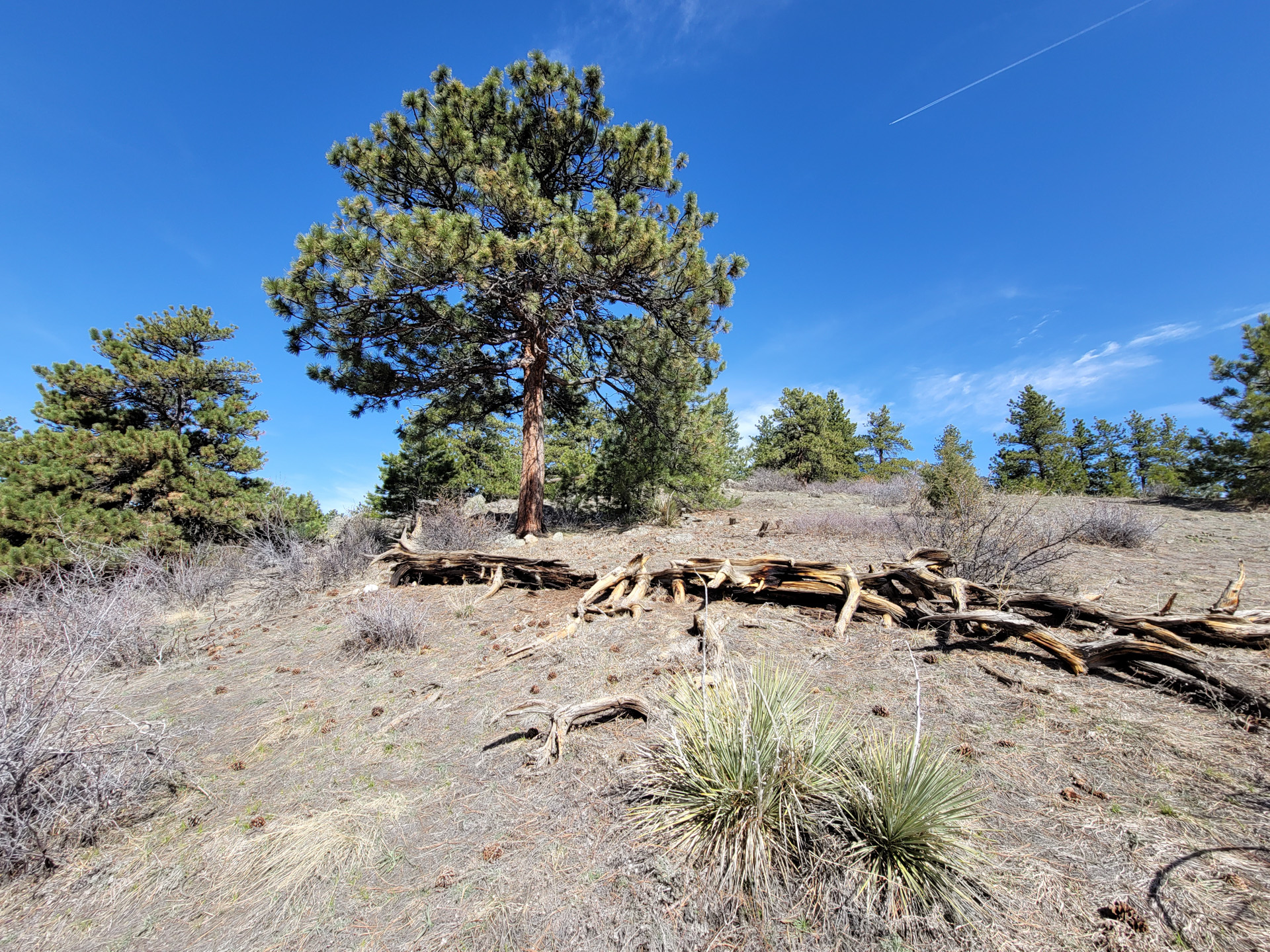
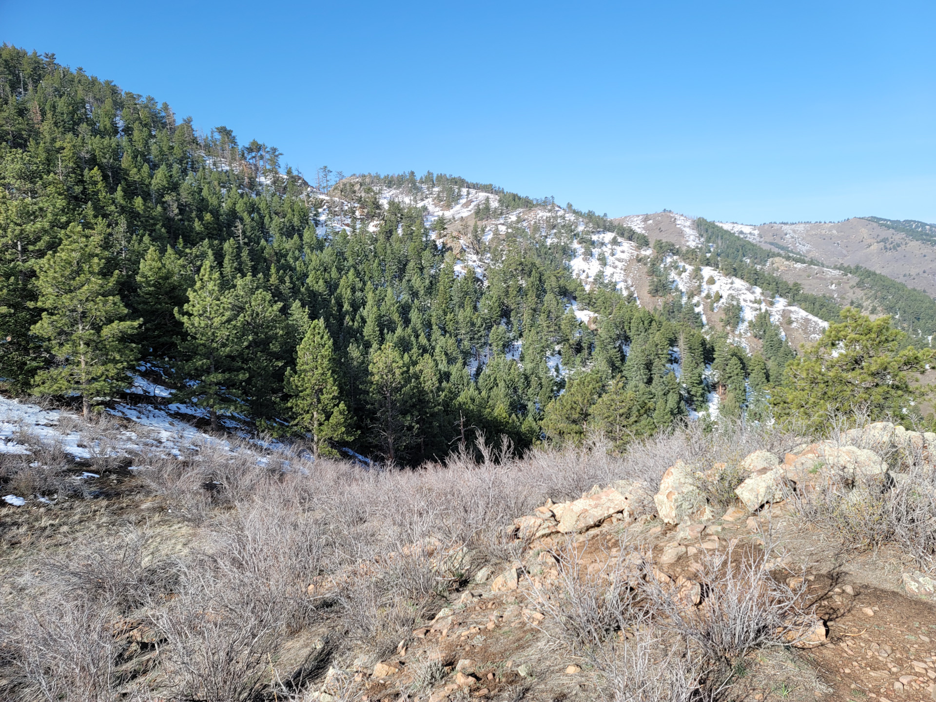
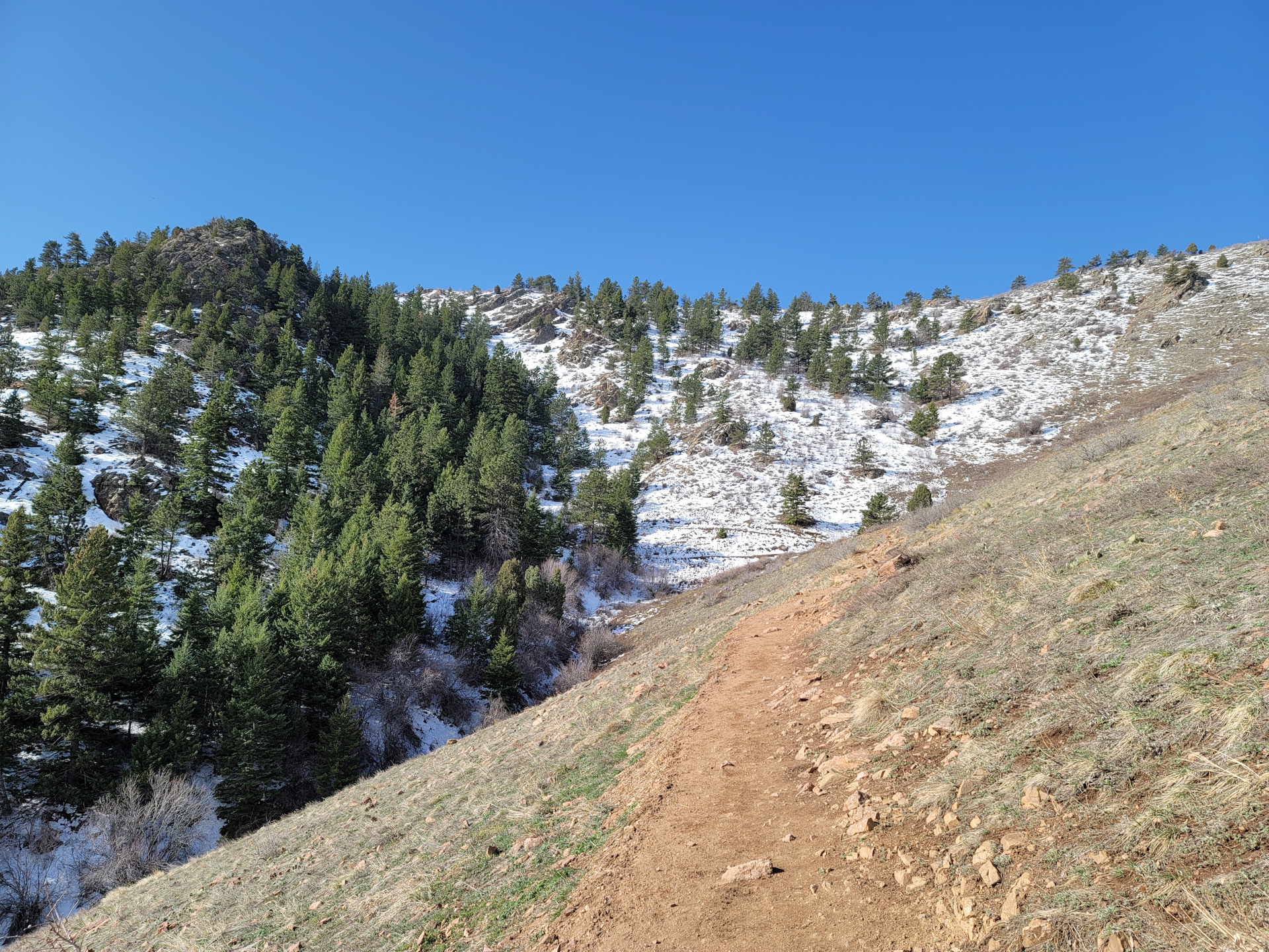
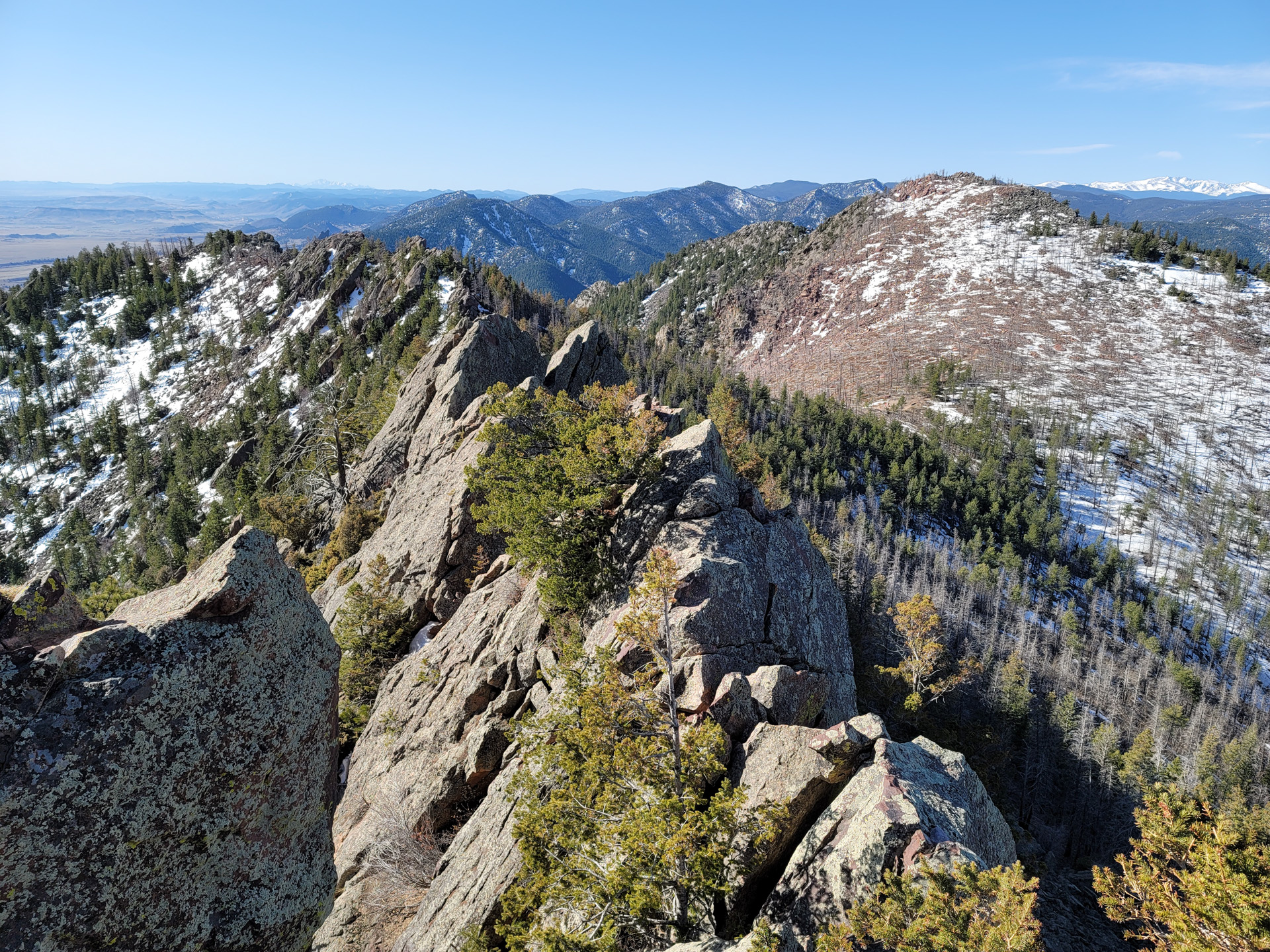
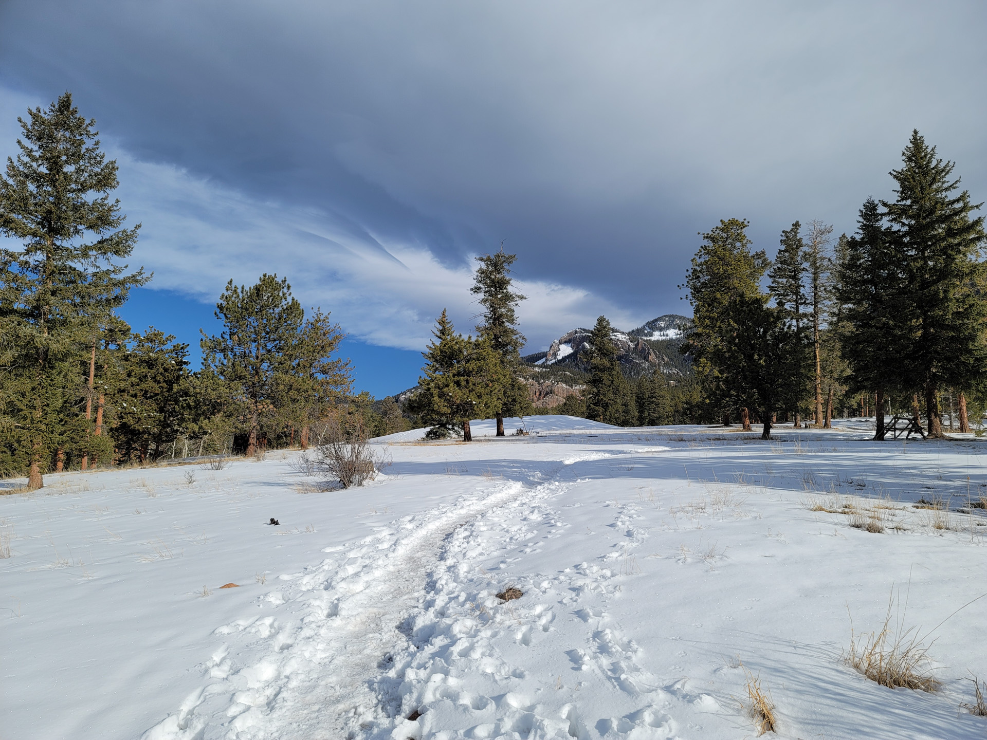
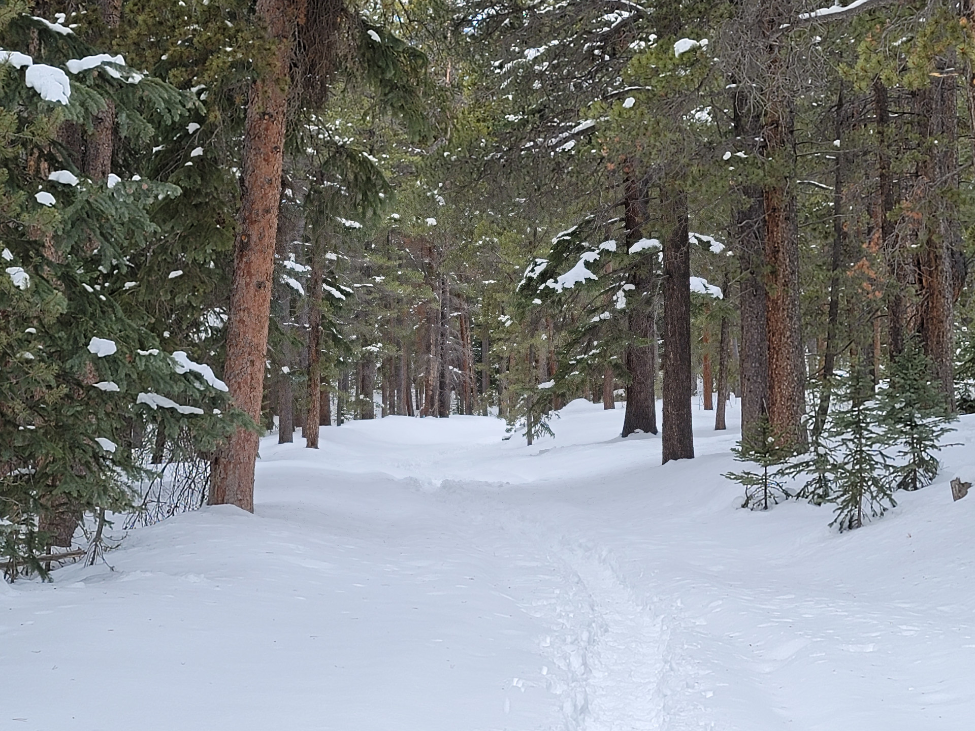
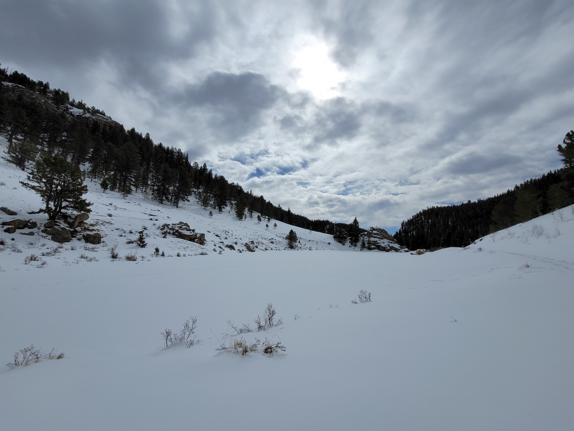
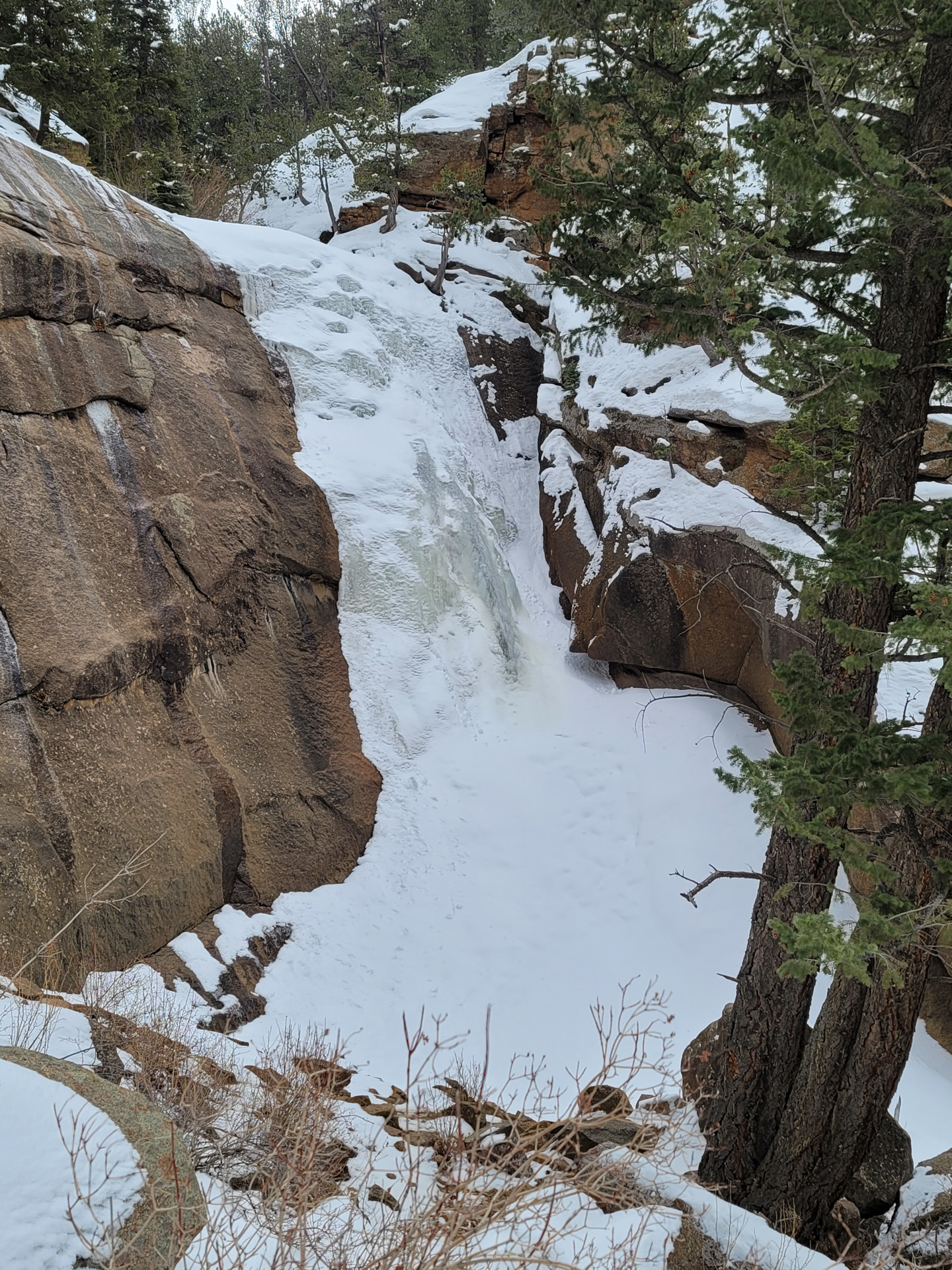
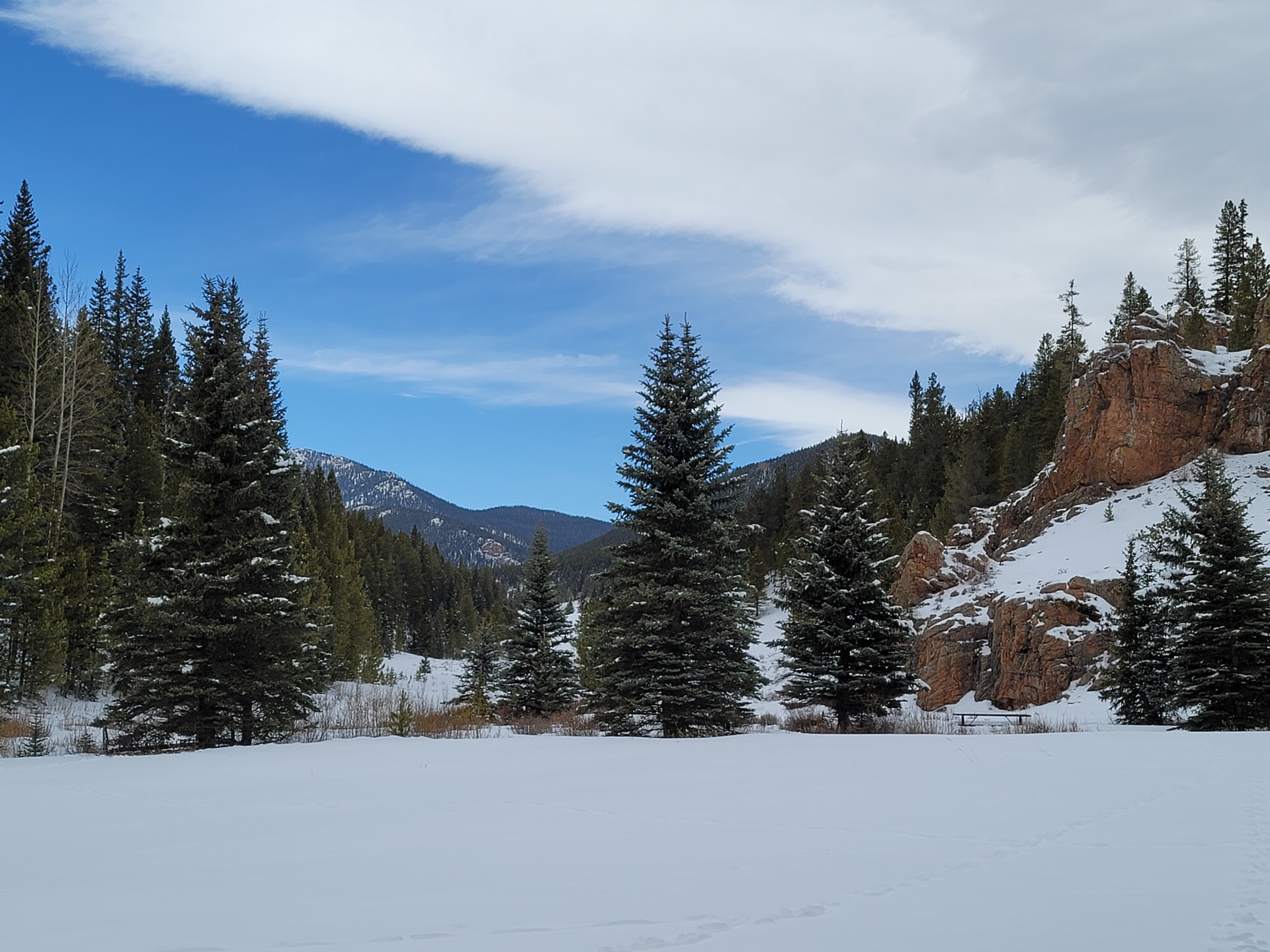
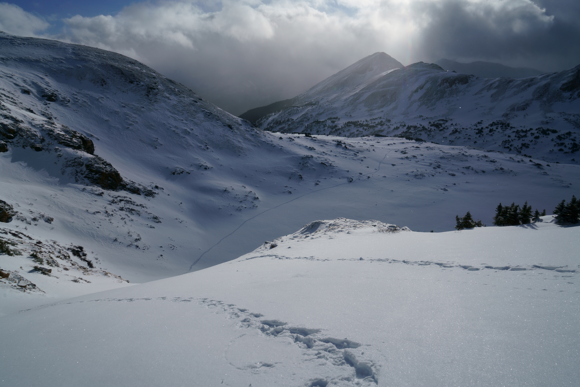
Back to one of my old favorite; Walker Ranch Loop trail. I expected some cold and overcast weather but it was gorgeous all morning.
1305 calories supposedly. 7.98 miles in 2:41:38
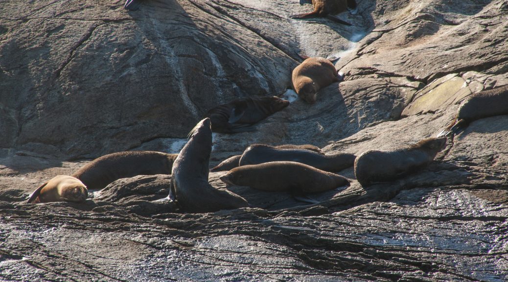
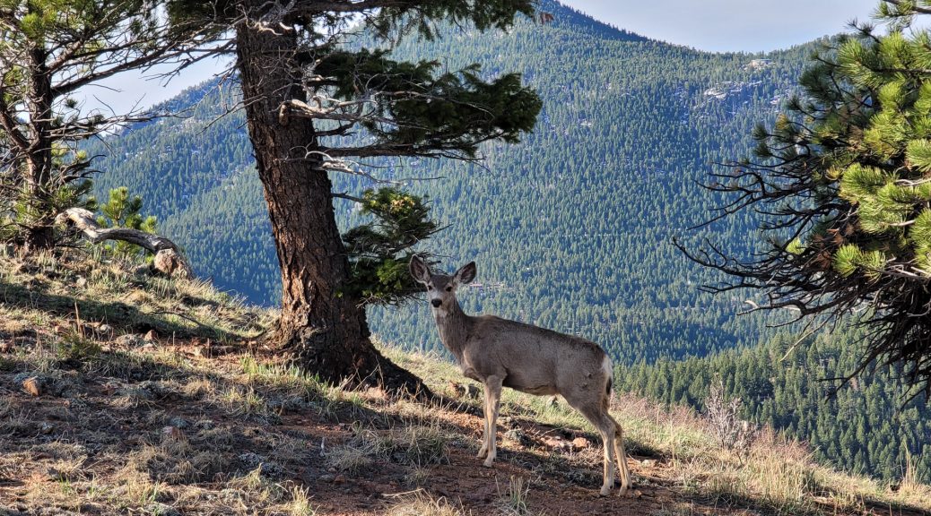
Plenty of wild life along the trail…

Back to one of my old favorite; Walker Ranch Loop trail. I expected some cold and overcast weather but it was gorgeous all morning.
1305 calories supposedly. 7.98 miles in 2:41:38
Plenty of wild life along the trail…
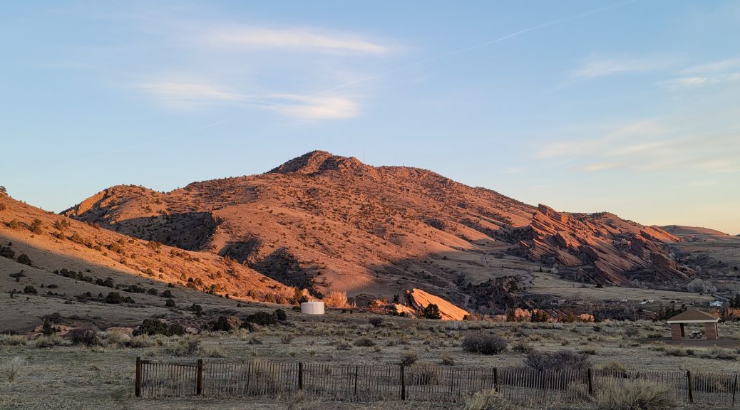
Great morning climb of Mt Morrison on Saturday. Great way to burn some calories (1202 supposedly although my watch might be optimistic…)
3.55 miles in 1:58:46 with 1935ft elevation gain
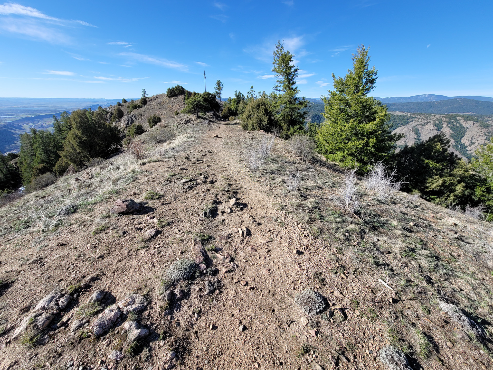
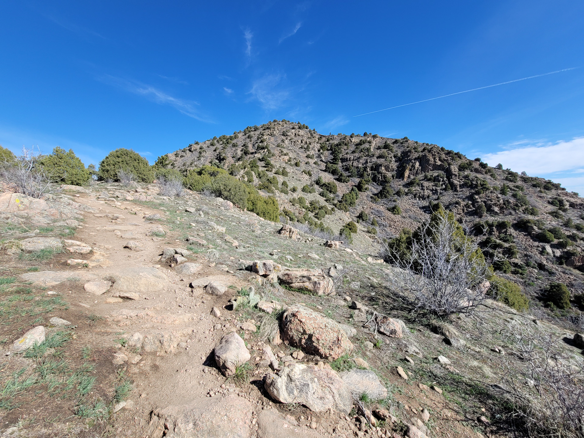

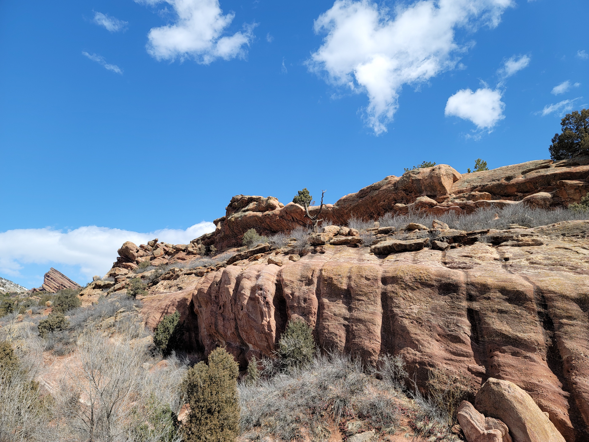
So much better than yesterday’s lame Mt Galbraith…
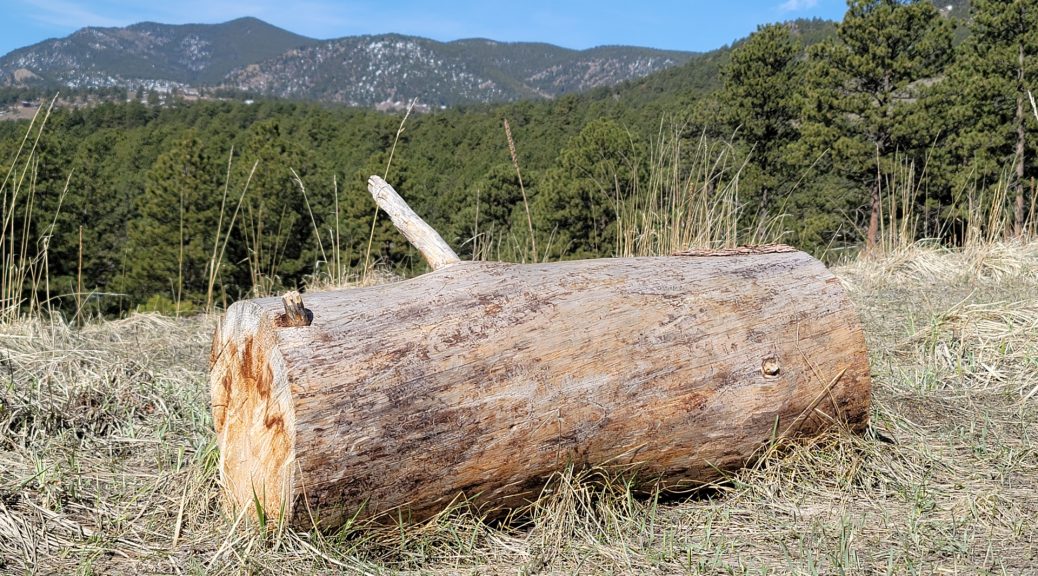
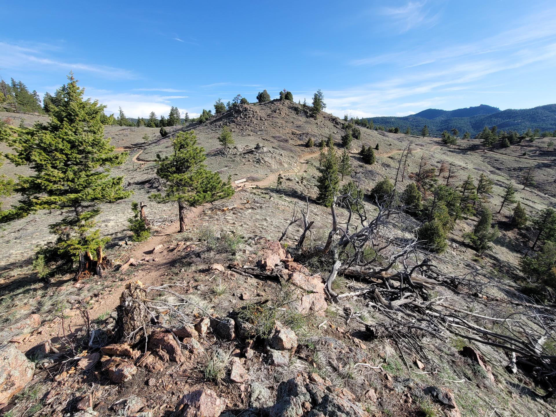
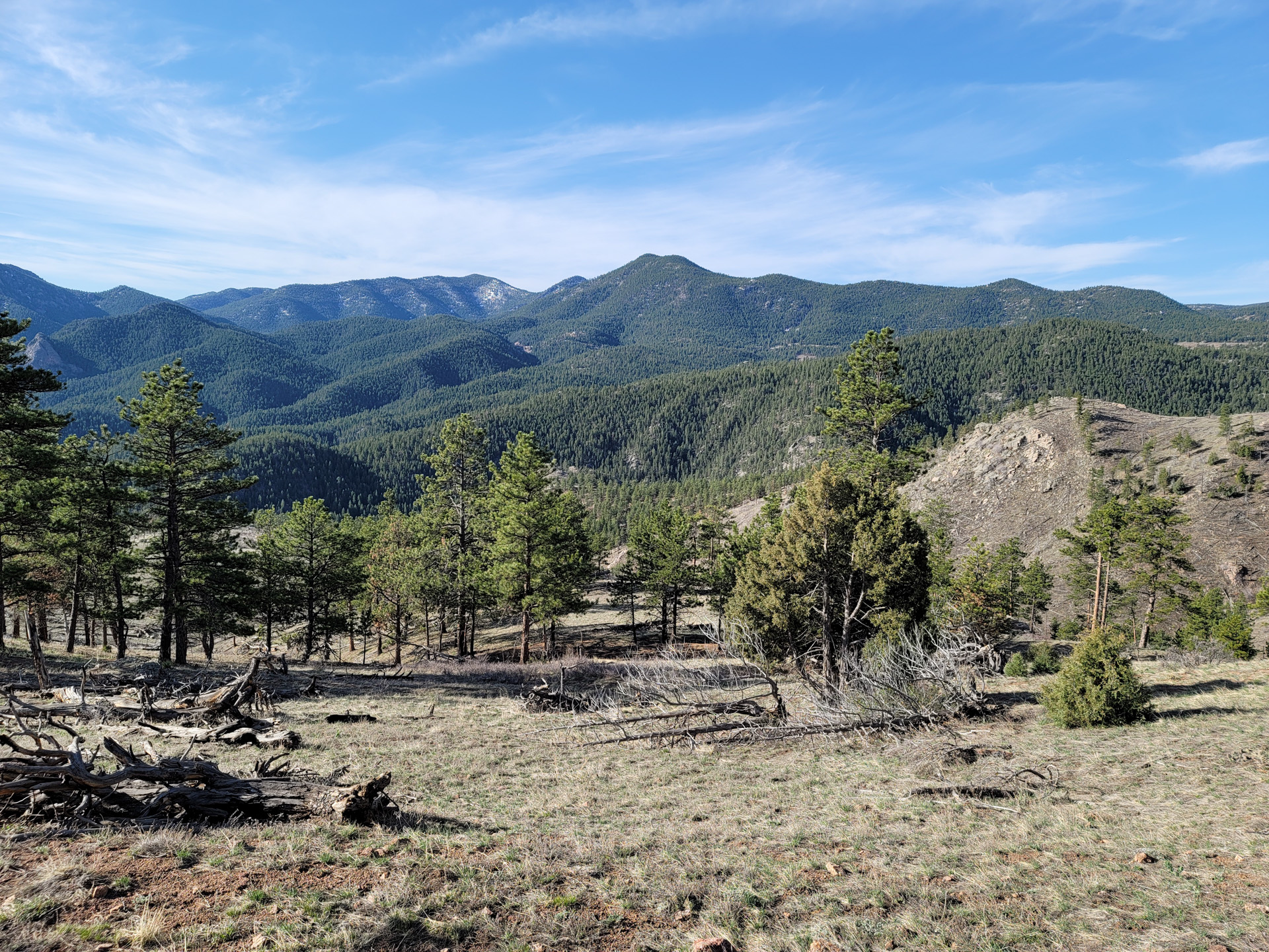
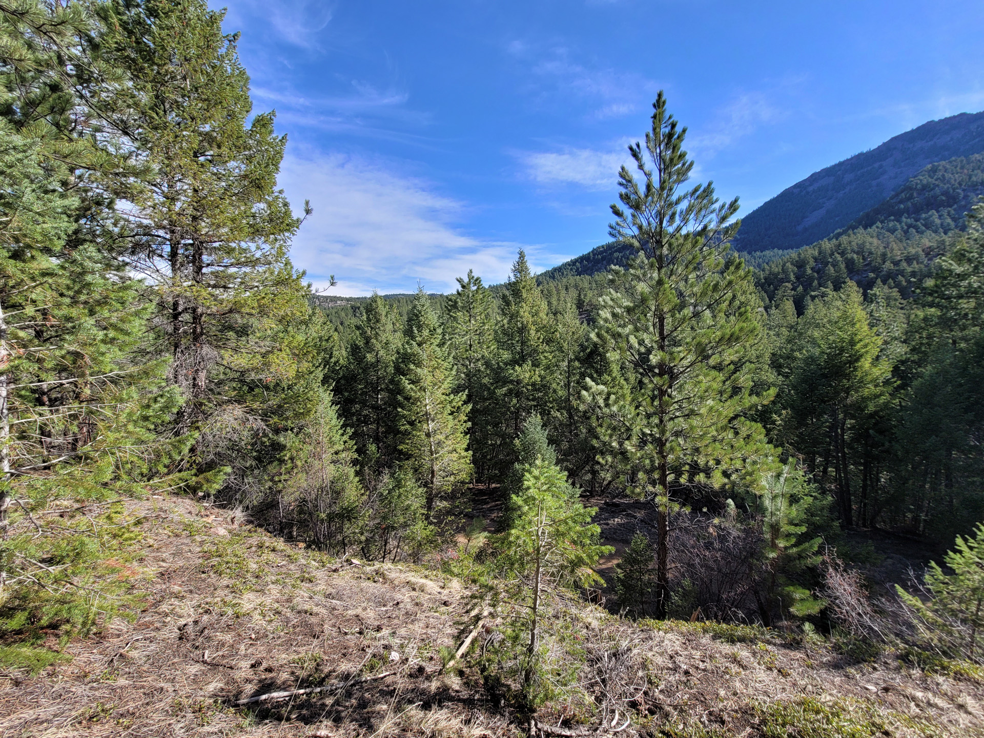
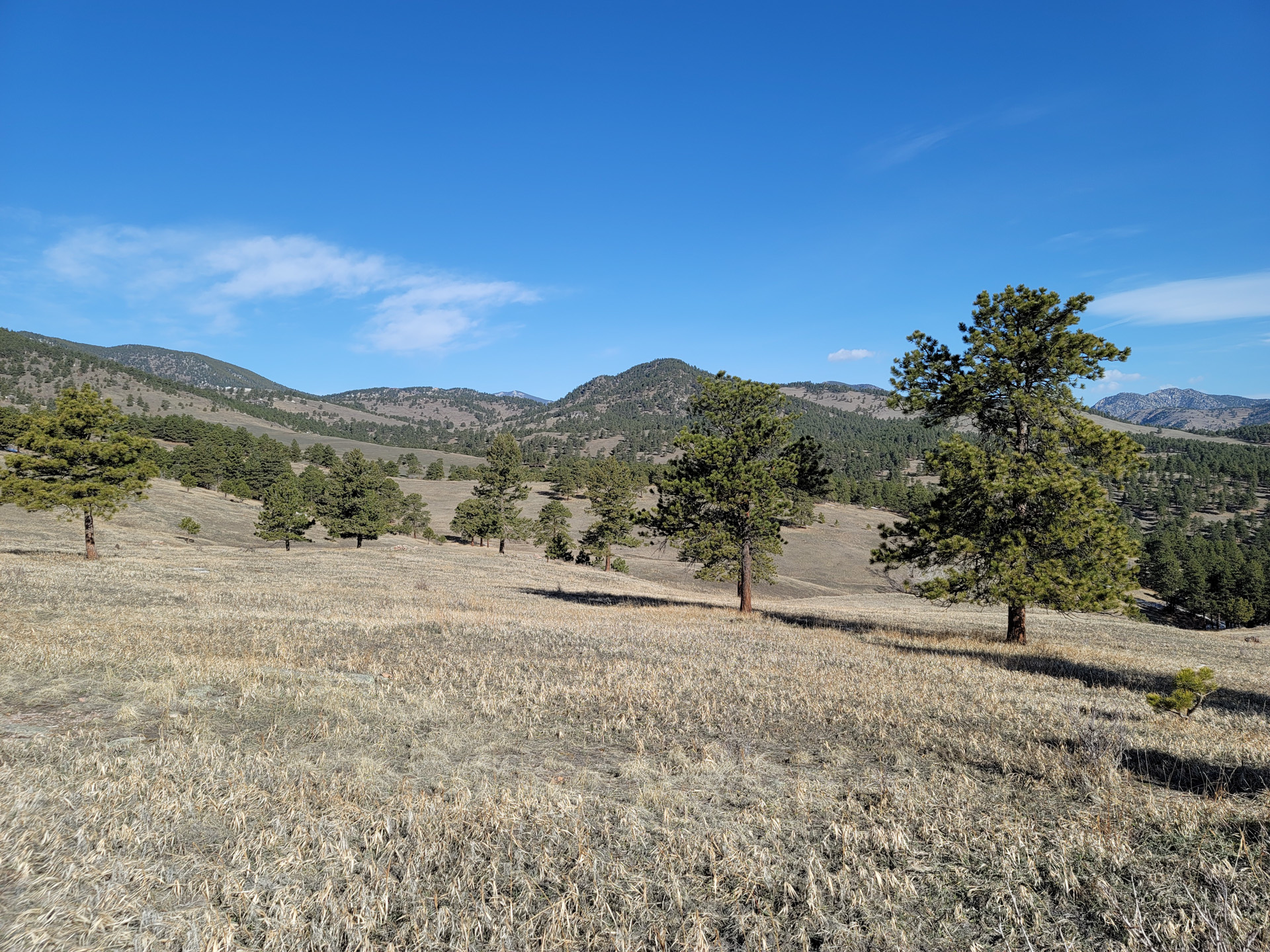
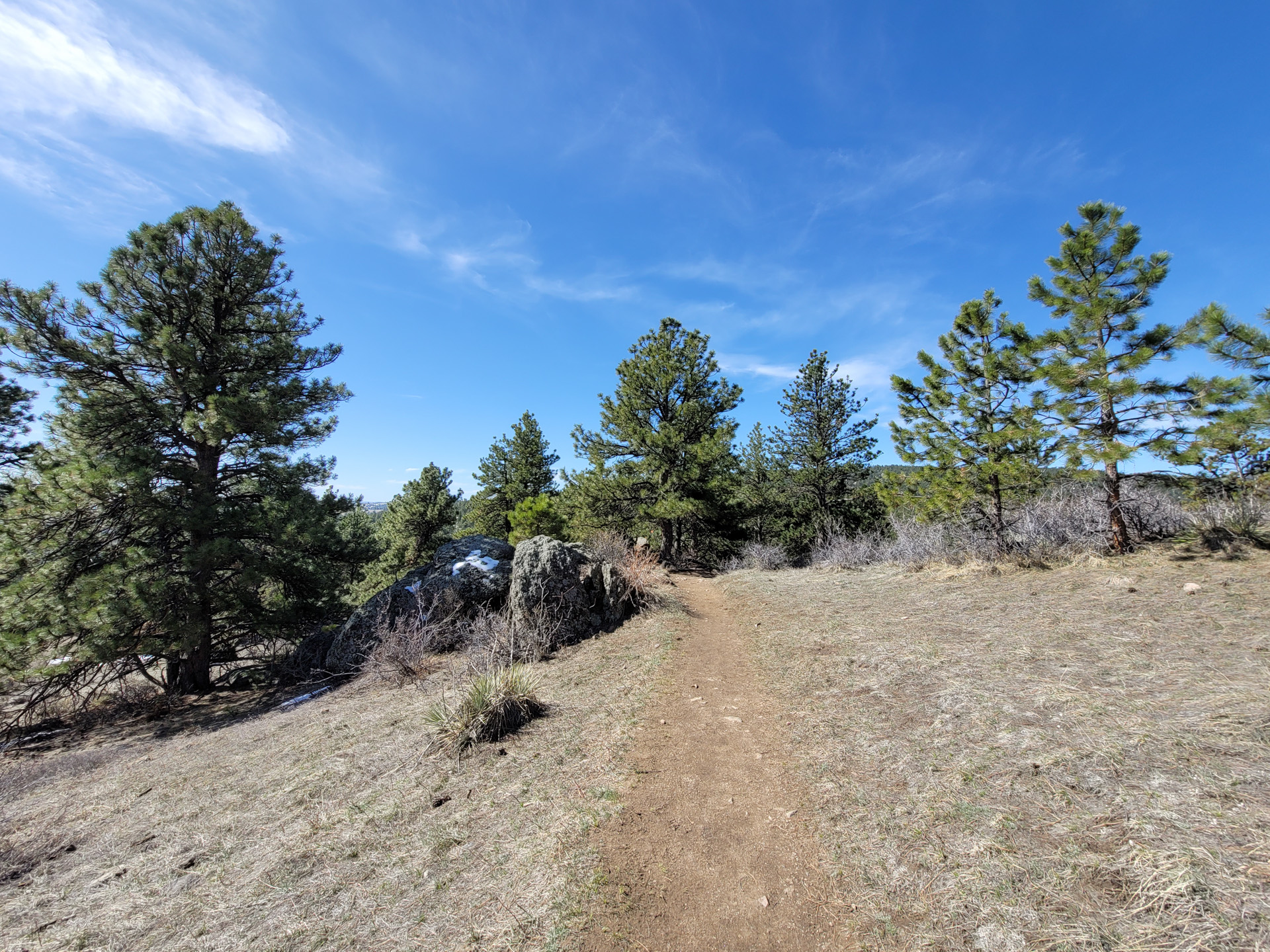
White Ranch Park might become my favorite. Great views all around with many trails to choose from. Some, perfectly suited for trail running. Lots of options really. I did 9.23 miles but there are shorter & longer options too. Not crowded at all and plenty of room to step away from all those covid patients running around the park. jk.
Last photo: the house in the distance is actually for sale. If you have $5.5 million lying around. 13,919 sqft with 8 bedrooms 10 bathroom s. Also a wine cellar and an indoor swimming pool that reaches outside.


New place today. It’s a short hike (4.41 miles) with barely 1000ft elevation gain. Good place for a quick morning hike / run near Denver.
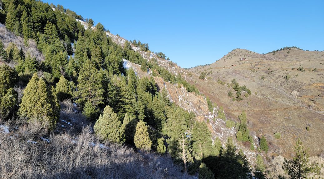
Hiking Green Mountain starting from South Mesa Trailhead is not really a thing (for good reasons) but I thought I’d give it a try.
It took 9 hours eleven minutes to complete for a total of 18.39 miles / 4621ft elevation gain. I’ve managed to burn 3,727 calories in the process.
I’m still trying to get back in hiking shape / lose weight. I’ll post about this in a month. It’s going well for now.

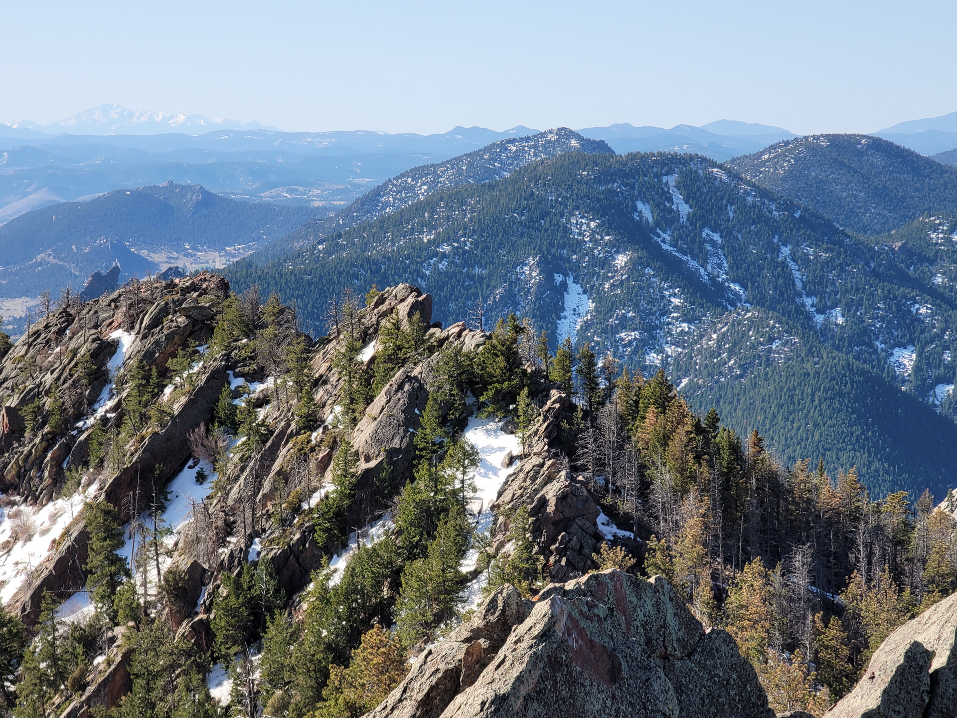
Great views from Bear Peak as usual
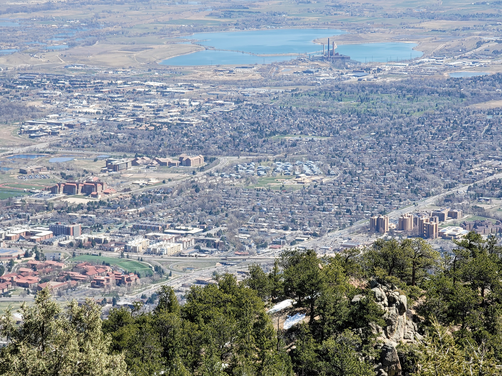
Looking down at Boulder – Colorado University:

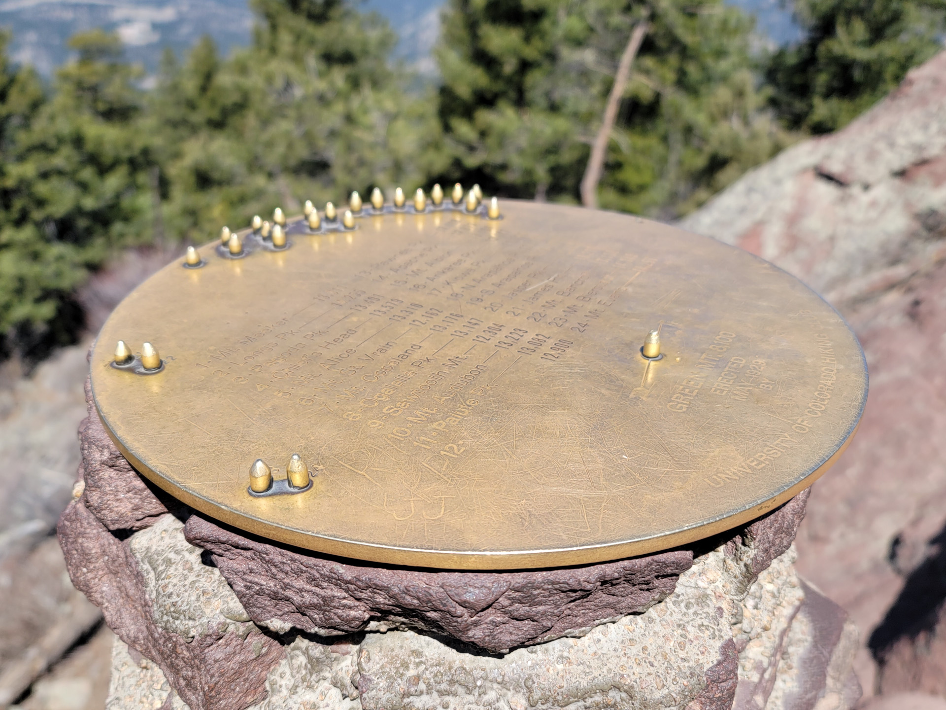
Summit of Green Mountain. That plate gives the direction of all the peaks in the distance.
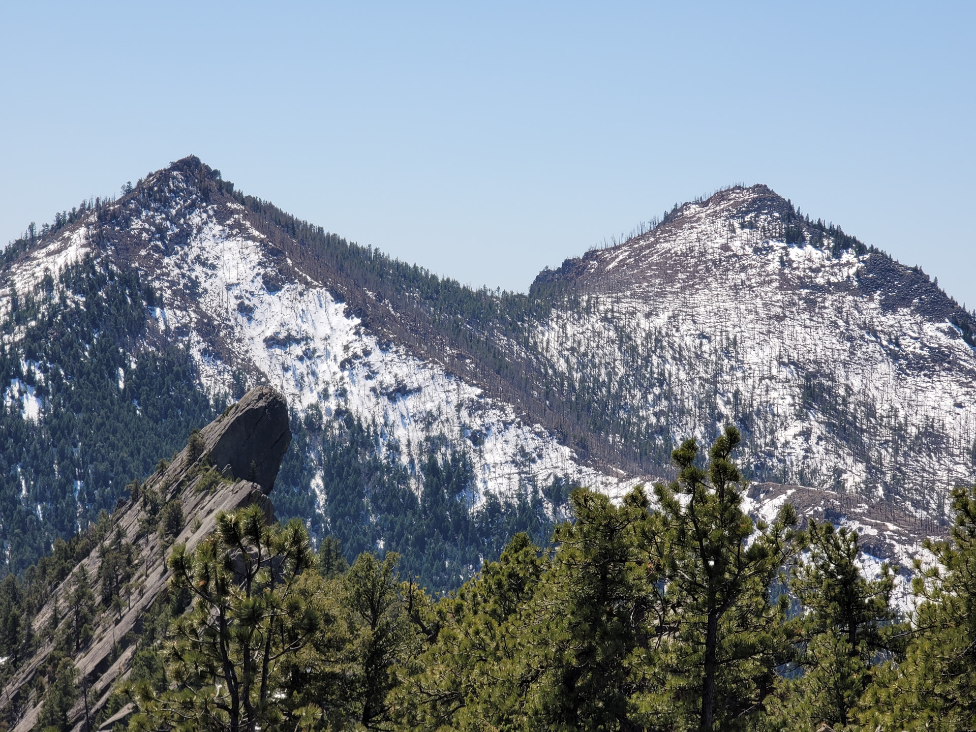
That moment you look back at Bear Peak from the summit of Green Mountain and you realize you’re parked behind these, way down below.
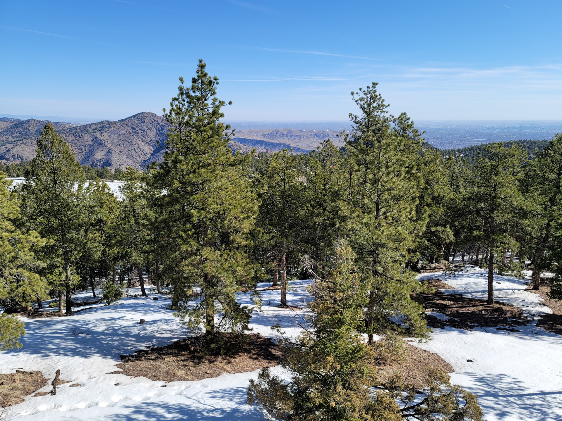
I need to be reachable these days so I’m sticking to the front range. This time I went back to Mt Falcon. Only a stone throw away from last Saturday. Hiked all over Mt Falcon Park for a total of 9.19 miles.
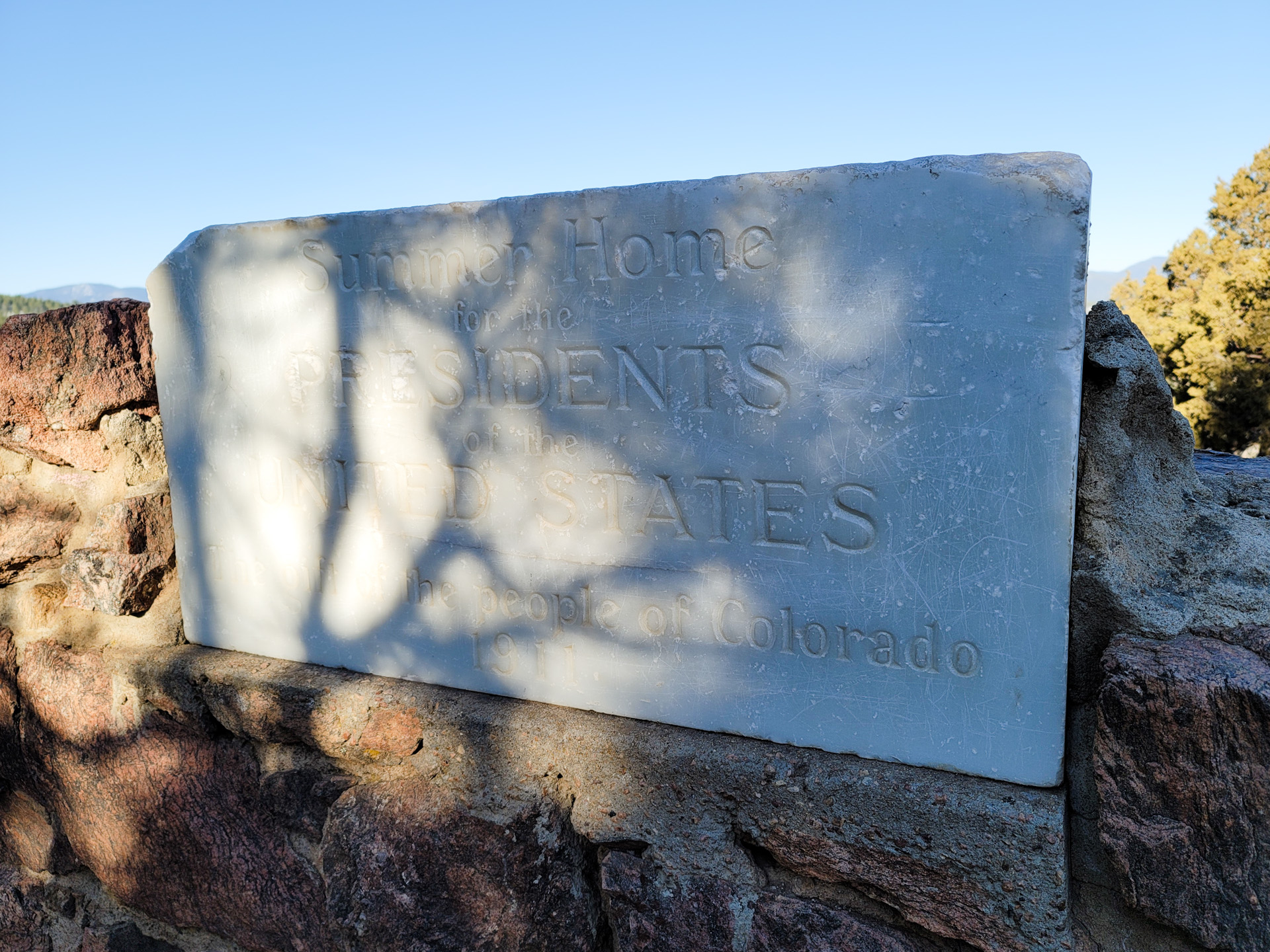
Apparently a guy wanted to build a Summer house on top of those hills for the Presidents of the United States. That project died quickly but the piece of marble is still there.
The place is a bit crowded as expected. I’m glad I started at sunrise.

Garmin Fenix 6 just told me I didn’t get enough sleep and I should postpone my next workout. Yeah, that’s gonna happen. I don’t need this kind of negativity in my life.
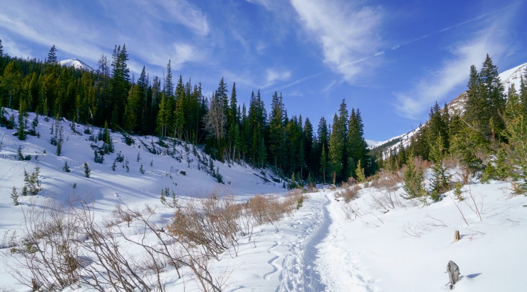
Anyway, I hiked in Staunton Park yesterday for the first time. Went to Elk Falls. 13 miles round trip. Easy well packed snow for the most part except the last mile towards the fall which had about 14 inch of soft snow along the trail. Good workout.
Hiked Mount Morrison on Saturday…after my one hour work out with my new indoor bike. Weight loss is going well thanks for asking 🙂
Mud, ice, and snow along the way but manageable even with a pair of Altra Running Lone Peak 3.0

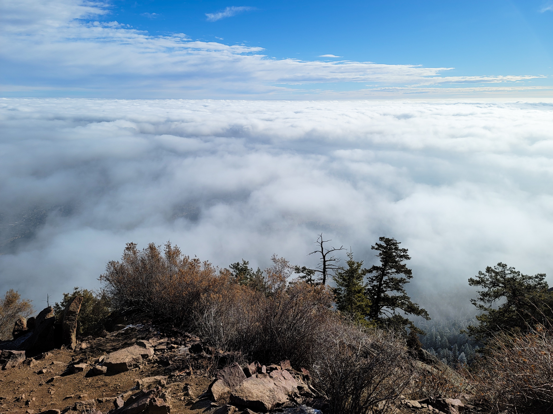
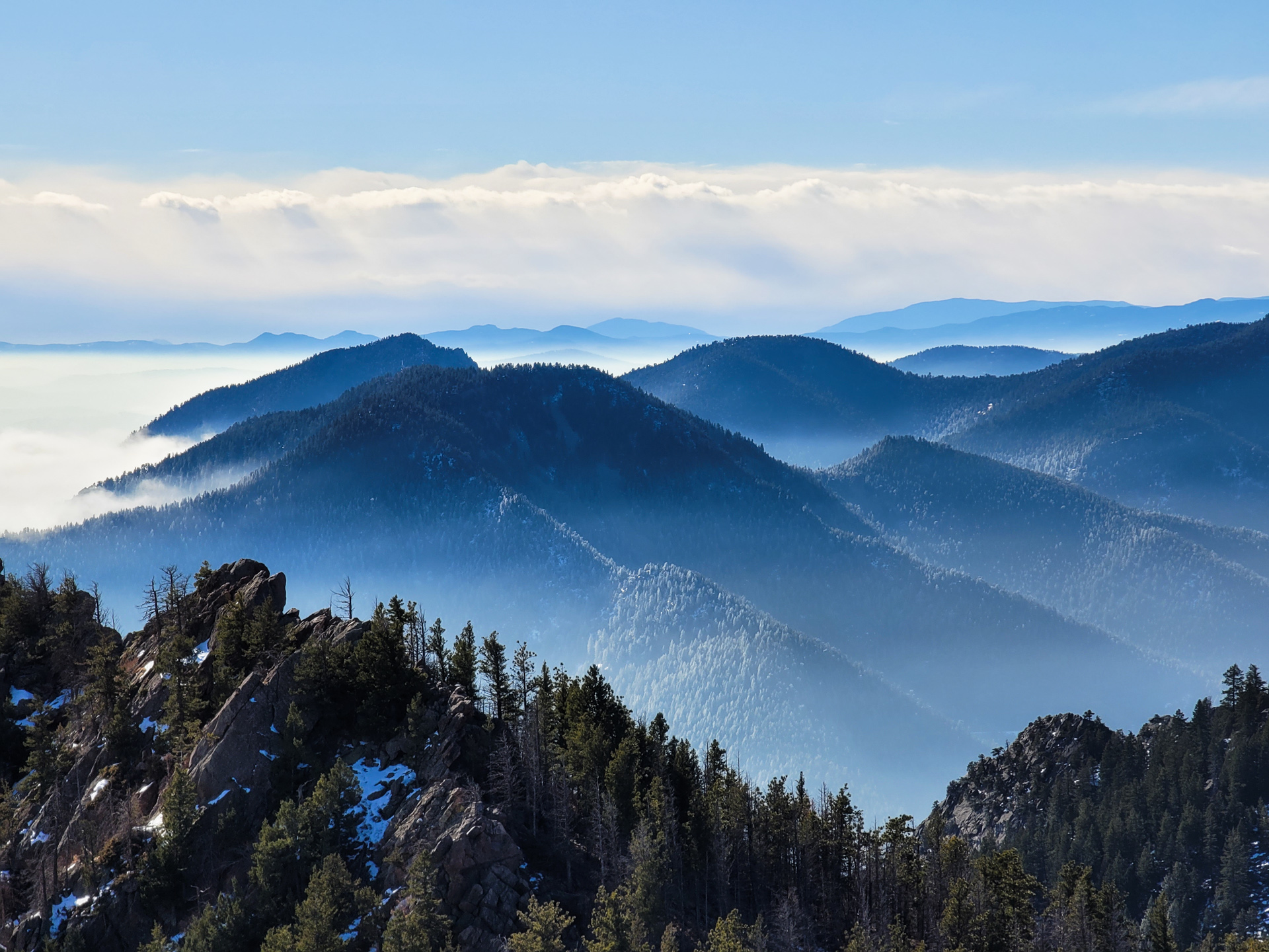
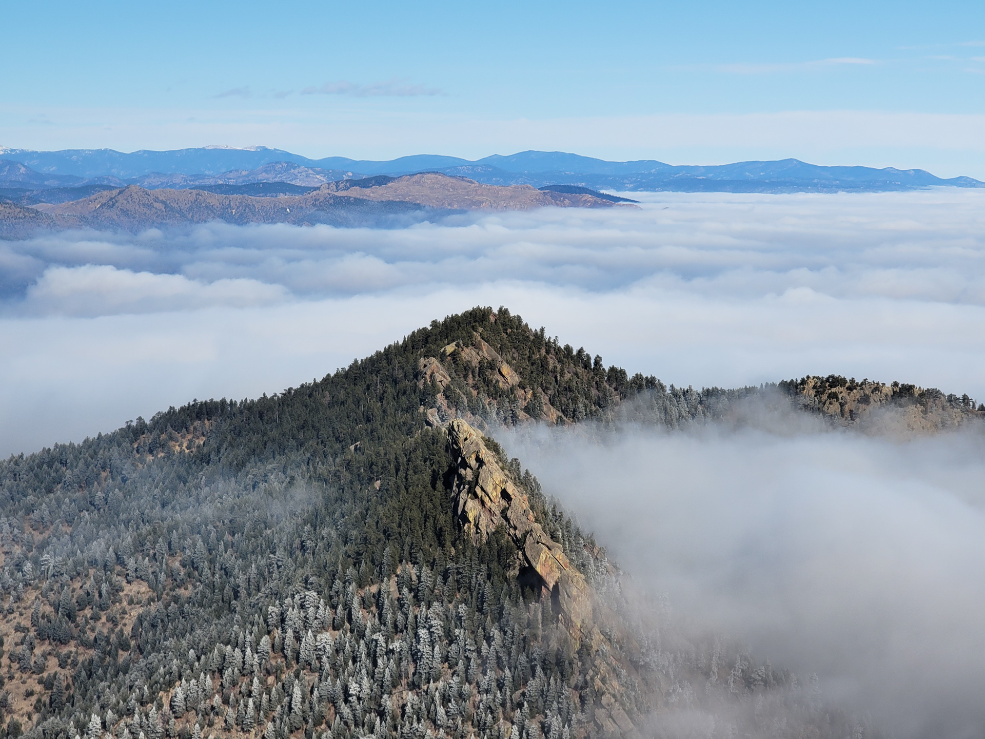
Climbed Bear Peak, starting from the South Mesa Trailhead.
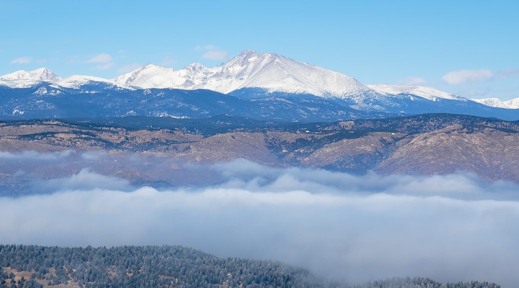
It’s always nicer above the clouds 🙂
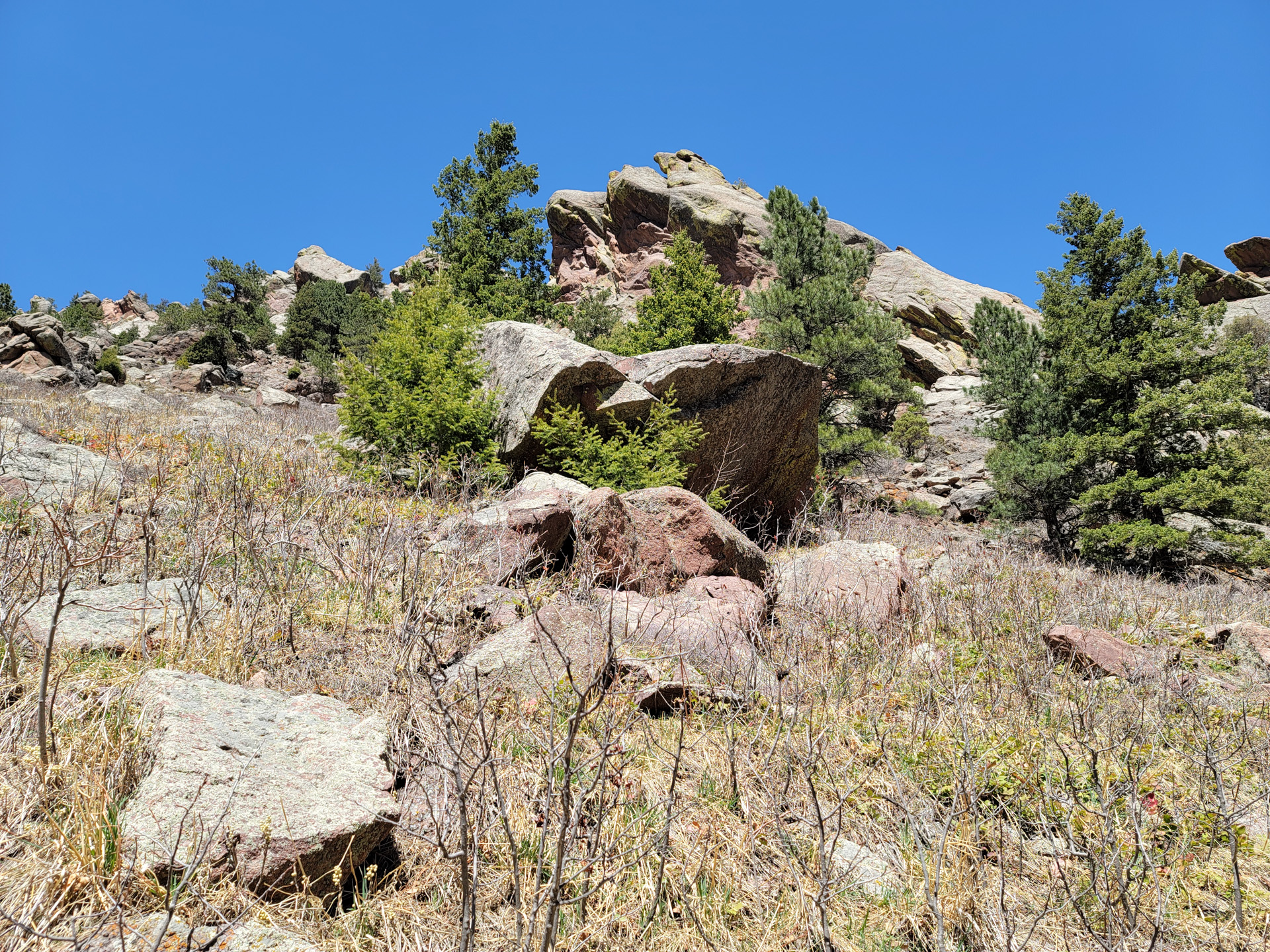
I drove to the grocery store Sunday morning and, arriving at the parking lot, I thought; what am I doing here? So, without even turning the engine off I started driving towards Boulder, CO. I hesitated between the Walker Ranch loop and this trail. I think I made the right choice.

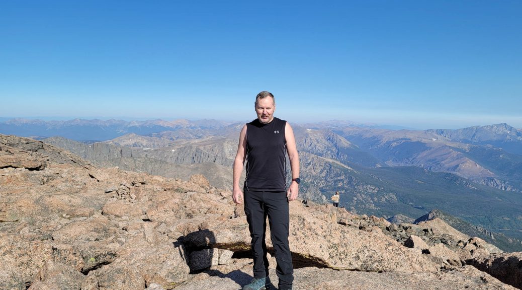
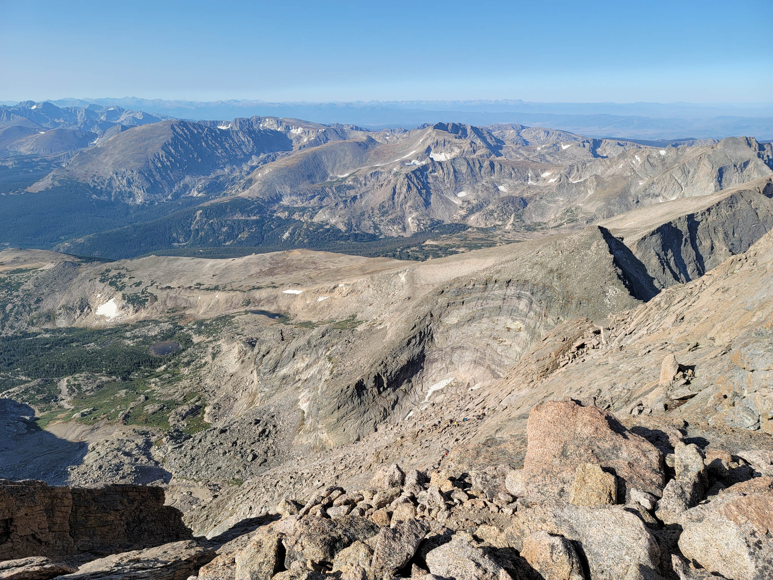
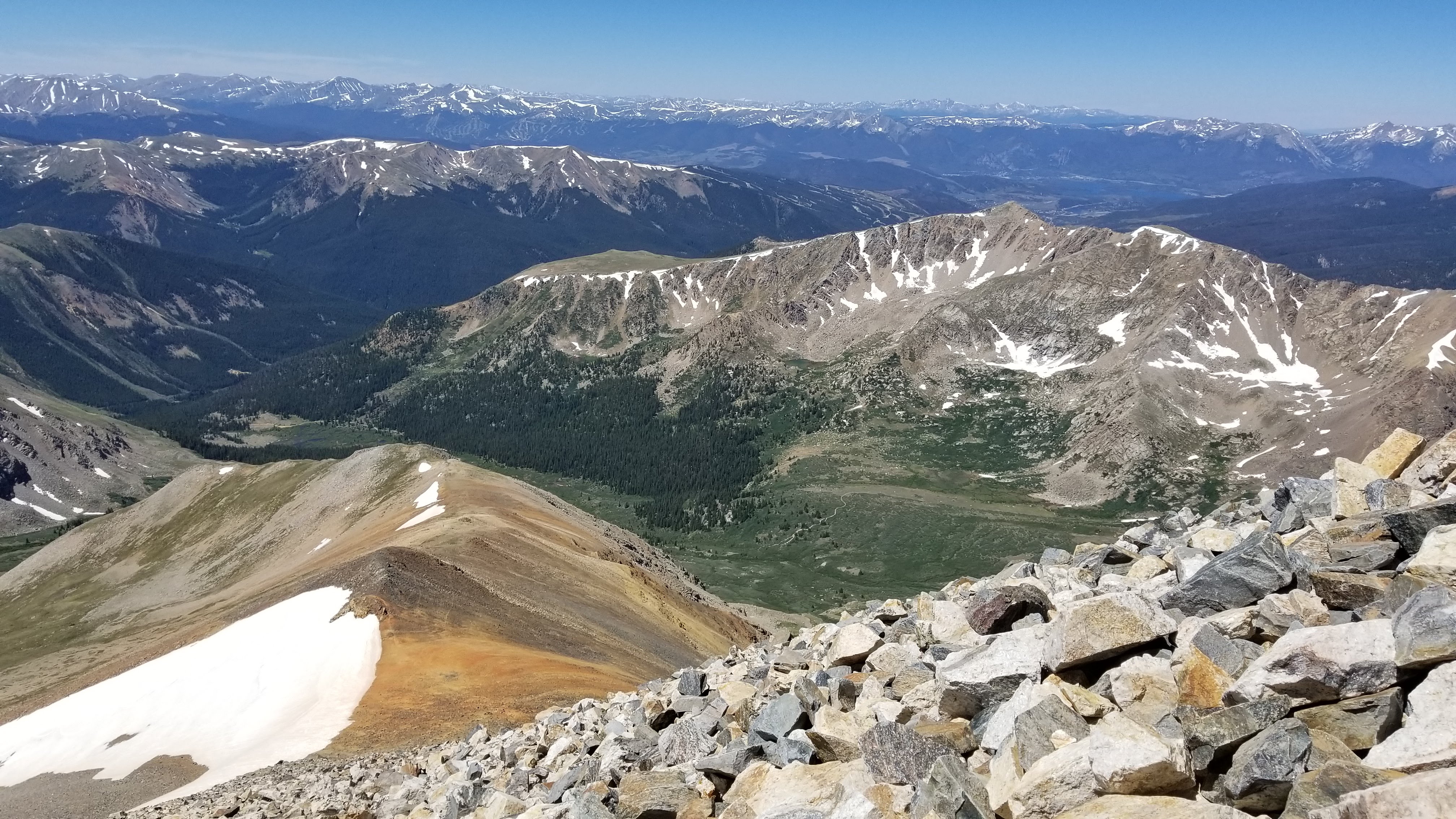
I hiked Longs Peak again in early September. It was that ONE day when the weather was super nice. Sleeveless top at 14,259ft? Check!
Fairly crowded as you can tell from the photo of the “homestretch”.
Out of the forty hikers at the summit not a single one had a mask. People (including myself) were swapping phone to get each other’s picture. Very friendly place 🙂
What was fascinating is that later on, going back down, passing by other hikers as I was getting closer to the trailhead, I noticed that more and more were wearing masks. I’ve noticed the same thing on Grays Peak and also Torreys Peak (different time); confident hikers at the top of mountains not wearing any mask while, hikers who were not sure of themselves, either slow ones or those starting late in the day were wearing mask. The difference was striking really.
Some have tried to push the idea that this was a “macho” thing but really experience showed me otherwise. One third of the hikers at the summit were women; not a single mask in sight.


Happy Birthday I guess. Anyway,
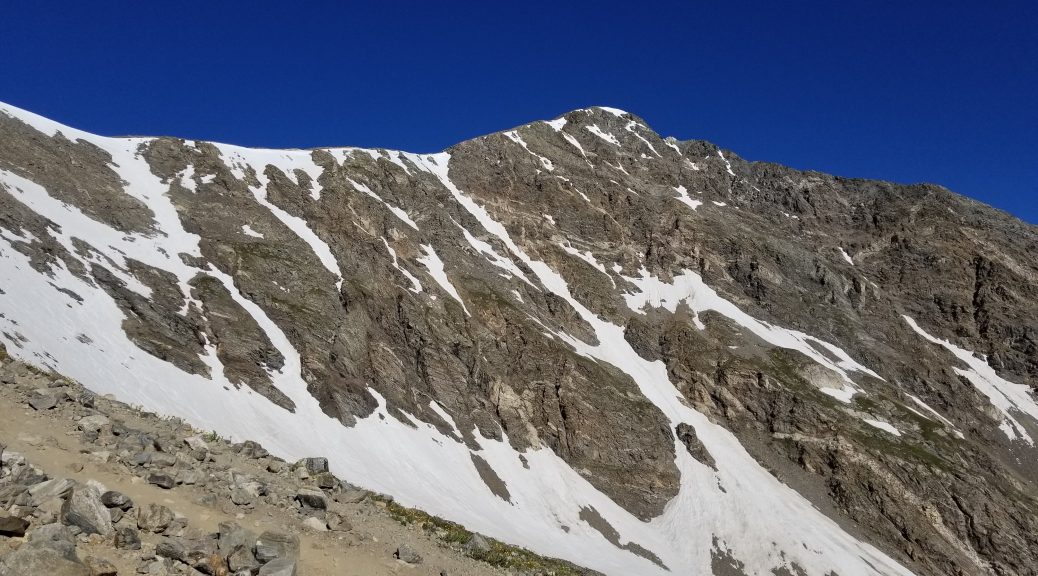
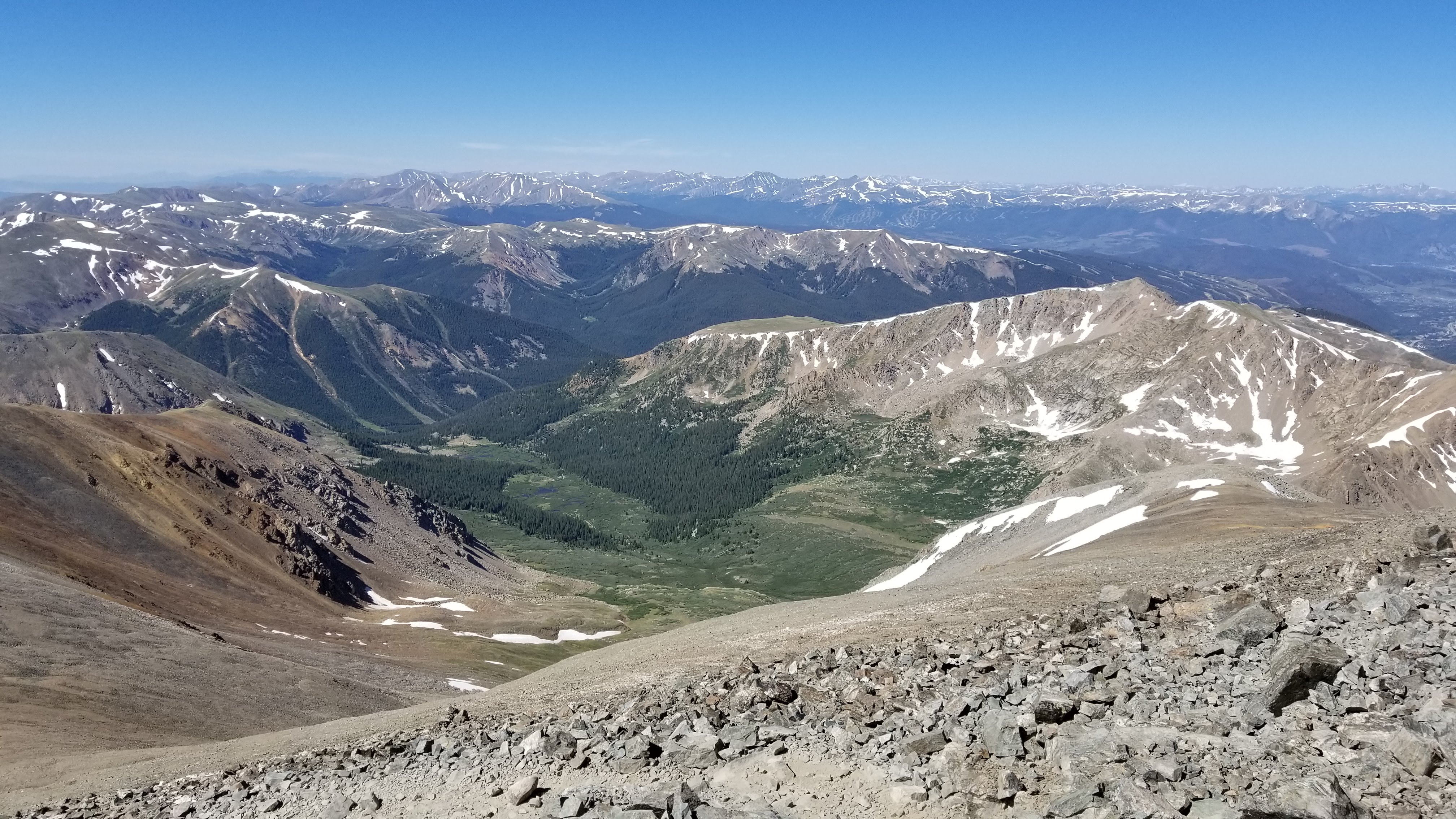
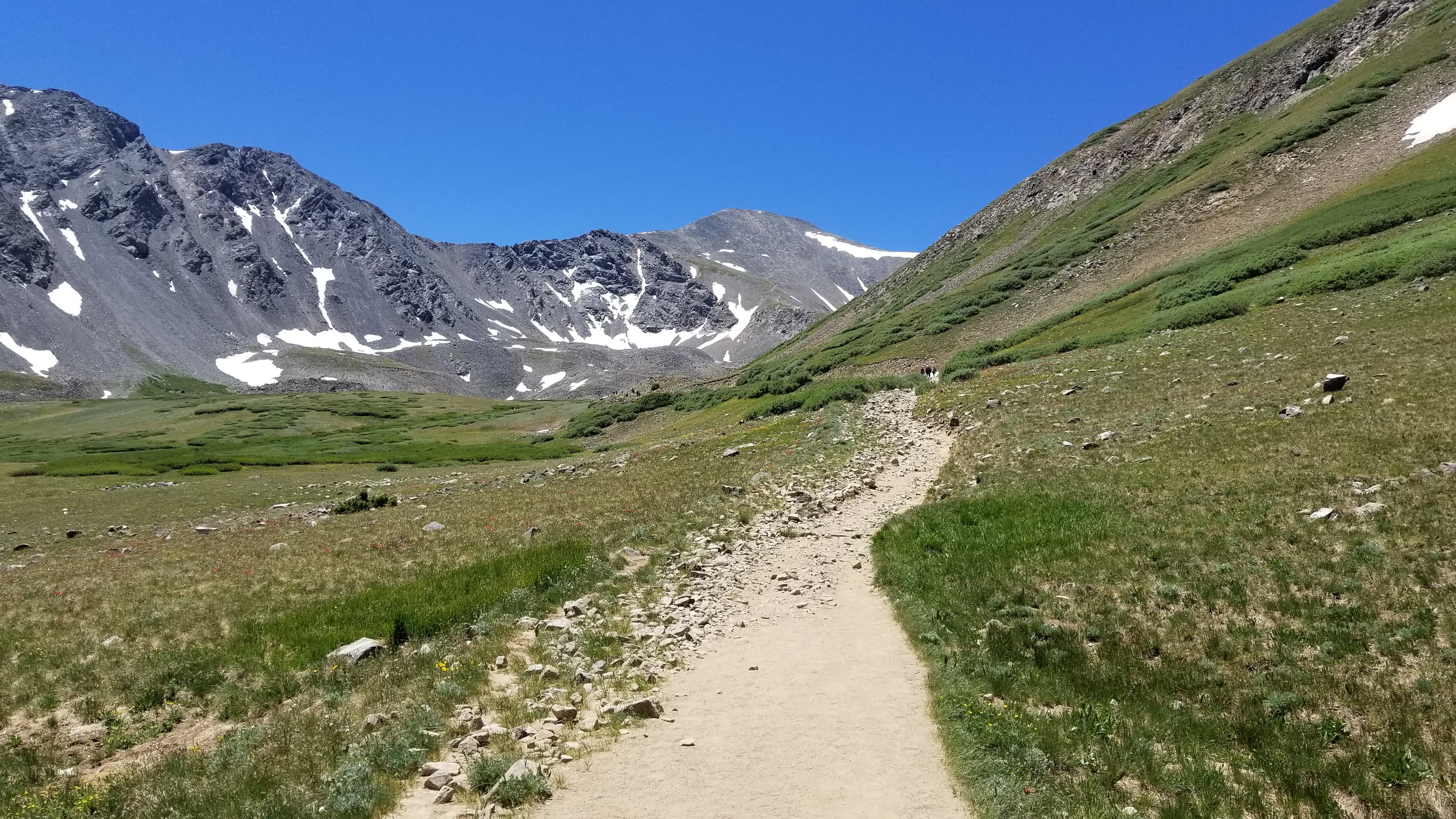
Hiking Torreys peak and Grays peak on July 10th, 2020.
2020 won’t be remembered as a particularly great hiking year that’s for sure but I’ll try to hike a few 14ers anyway. Even on a Friday it was very crowded (for a 14er that is) – People are really eager to get out there.
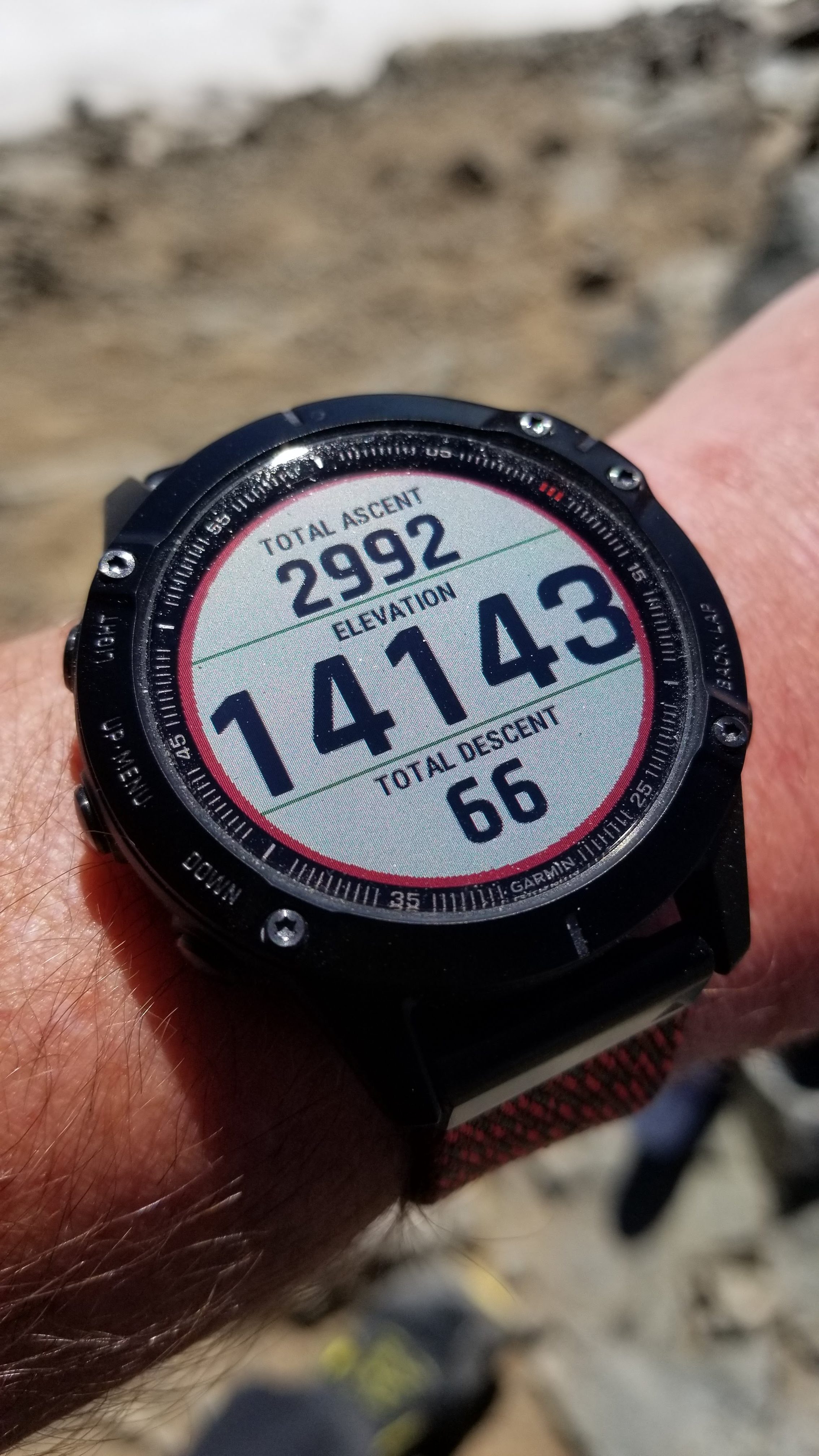
I love my new watch. Garmin Fenix 6 Sapphire.
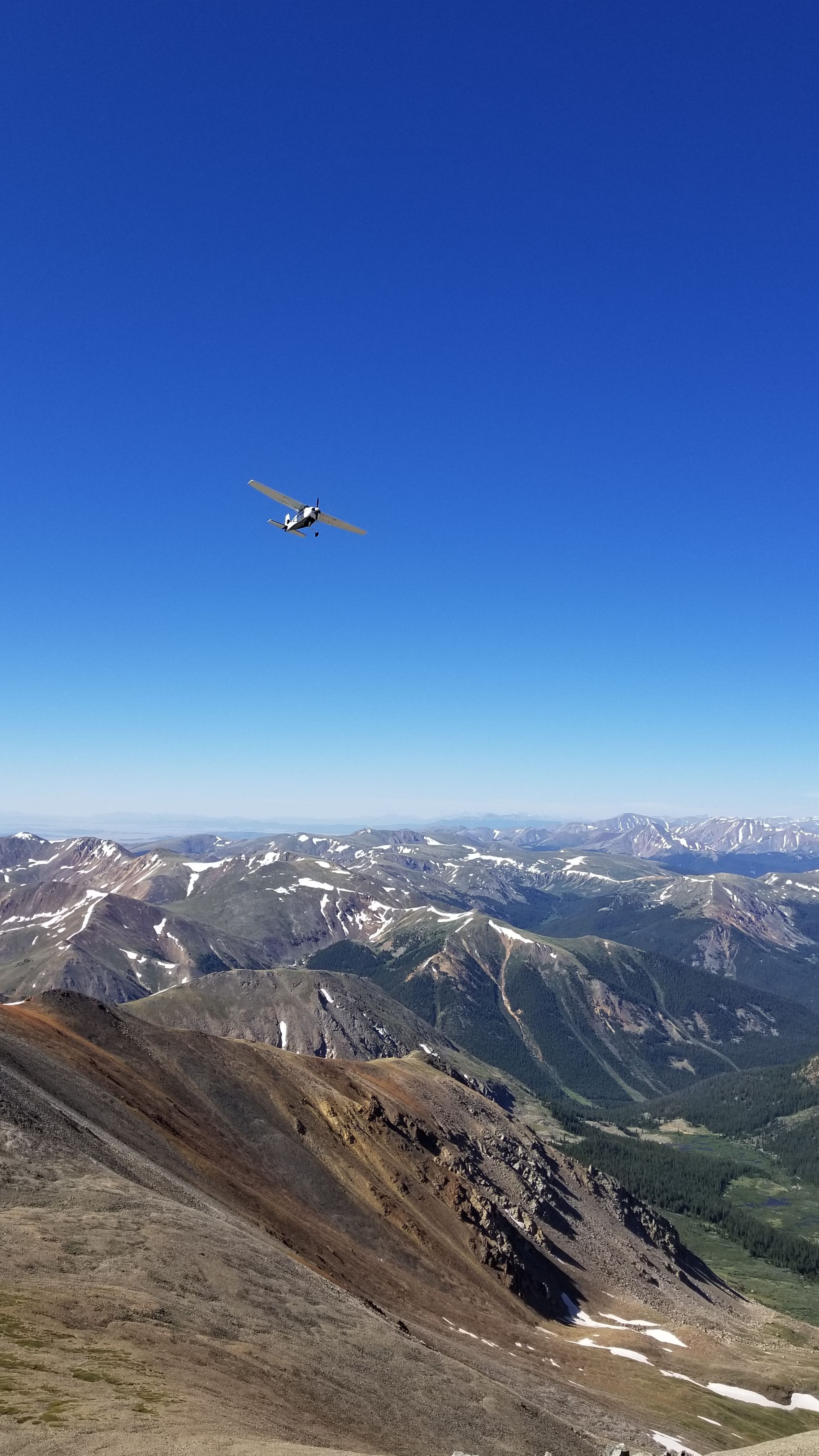
A small plane passed over the summit of Torreys peak when I arrived. Very very close…
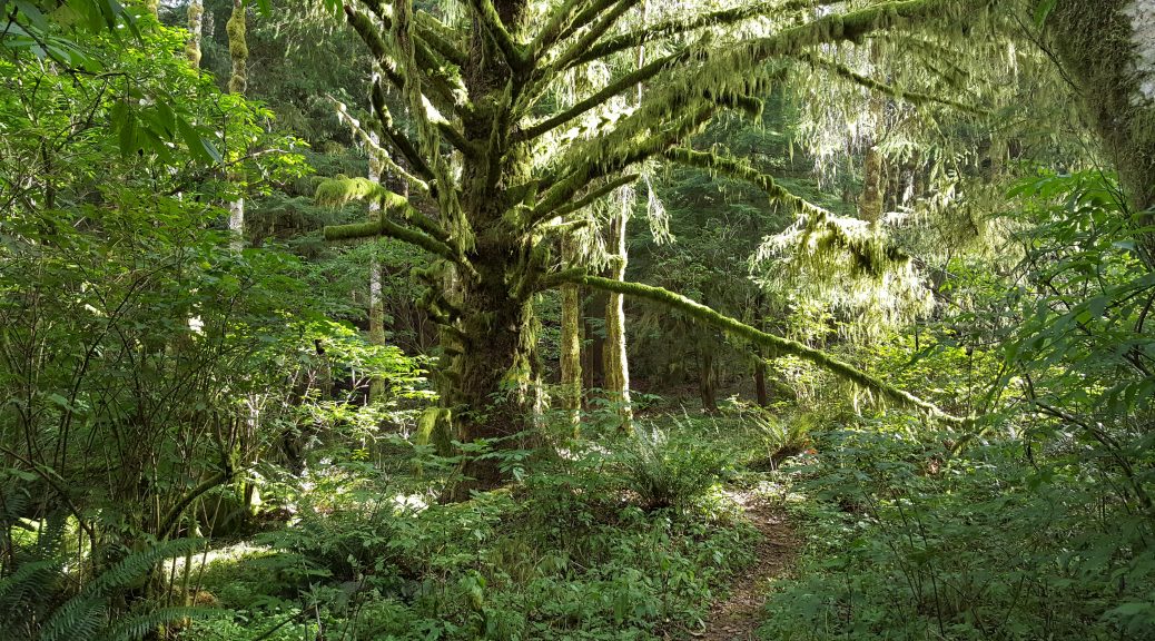
One last photo gallery (I’m catching up on things). This time from 2016 along the Oregon Coast Trail.
I was feeling pretty good and I made it a point of crossing the state of Oregon in 14 days. Since there are small towns along the way, food wasn’t a problem and I didn’t have to carry more than one day of food at a time. As for water, there are thousands of streams / rivers everywhere so that wasn’t a problem either. Weather was mostly good except for one day of rain. Not too bad.
After New Zealand I spent about two months in Australia around Feb / March 2011.
Sydney, Melbourne, (quick trip to Tasmania) and finally Perth on the other side of the country. It was a lot of fun.
Australians are very proud of their backpacking trails. They enjoy reminding foreigners that there are “hundreds of things that can kill you”. It’s mostly BS if you ask me.
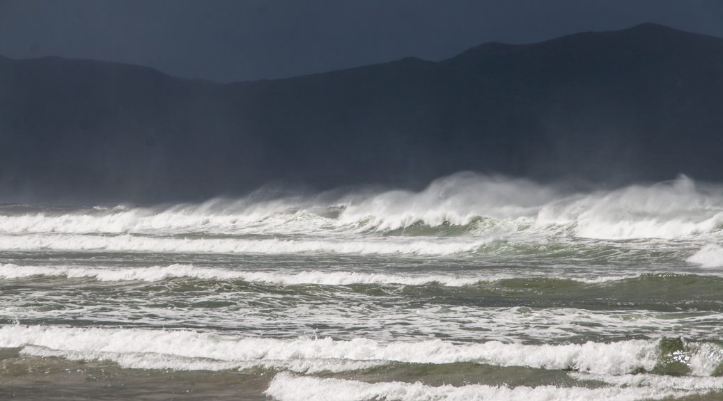
The South Coast Trail / Port Davey Track is however the craziest hike I’ve ever done…by far. It took about fourteen days to complete. I took a day off (in a green, half dome shelter) in the middle of it. I had a feeling a storm was coming. I was right. It rained non stop for 36 hours straight. When I came out the next day there was a foot of water absolutely everywhere around. A boardwalk that was supposed to be a foot above the ground was actually one foot under water. I hiked a few hours with water up to my knees.
Mud was also a problem. Turns out, it’s VERY difficult to get your leg out of the mud when you sink two feet into it. I crossed rivers by walking on dead trees that fell across. To this day I don’t know how I didn’t die 🙂
There’s something to be said about hiking along the south shore of Tasmania, looking south, knowing that there’s no more land…until Antarctica. One day maybe.
Hiking the “Te Araroa” took about five months so I had one month left on my visa to see a few landmarks that were not necessarily on the trail.
I traveled to The Catlins and did some kayaking in the Milford Sounds. There’s a lot to see in New Zealand and clearly I will have to go back at some point.
Funny story; after kayaking for a full day my body stopped generating heat. I was freezing no matter what. I was staying in a hostel in the evening and I ended up going to bed with two heavy blankets & sheets, plus my sleeping bag and all my clothes on. I was still freezing. It took several hours for my body to restart…To this day I have no idea what the problem was. It wasn’t Hypothermia (I had that twice on the Colorado Trail, trust me, I know…) but it’s one of the strangest things that happened to me on a trail.
I did lose a good part of my hearing (right side) for almost two days after a tiny branch went straight through my ear along the Te Araroa. My ear “popped” eventually and everything was fine. I also broke my arm there so I had to hike for six weeks using my camera bag as a “sling”. Luckily it fixed itself. In 2007 I lost all feelings in my right leg while backpacking late in the evening. Feelings came back. I think my backpack was putting too much pressure on some nerves. Who knows. Shit happens and people complain way too much if you ask me. Anyway…
After hiking the Te Araroa throughout the two main islands of New Zealand I decided to continue hiking. I flew to Oban, Stewart Island in one of these tiny propeller plane and did the “South West Circuit” track. It’s supposed to be a ten / eleven day trek but I was in good shape and decided to go thru two huts per day instead of one. It was a completely useless challenge since I wasn’t even using the hut system but it was fun to do…
In mid 2010 I decided to take a year off work. My visa situation was a mess (what’s new?) and one of my options was to leave the US for at least a year, come back and re-apply for a new visa. The US economy wasn’t going anywhere and my logic at the time was that I would be better off leaving my job, wait a year, and get a better paying job which meant the sabbatical would pay for itself. It worked perfectly. I got $10,000.00 more per year which happens to be what I spend while backpacking abroad. In the words of Hannibal; “I love it when a plan comes together”.
The plan was to spend six months hiking the entire length of New Zealand (about 2000 miles) along the “Te Araroa” Trail, then three months in Australia and Tasmania after which I would maybe spend some time somewhere in South Asia.
There’s a lot to say about this trail. In many ways it was a “compressed and intense” version of life. So many encounters (both good and bad) and so many adventures…I have many stories. I’ll write them down some day. In the meantime, a short series of photos will have to do.
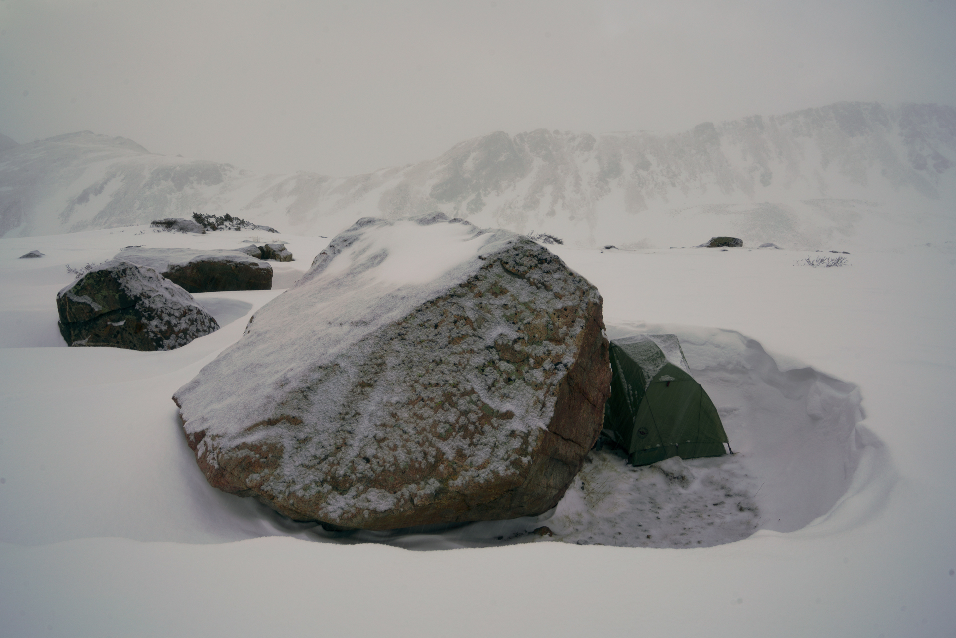
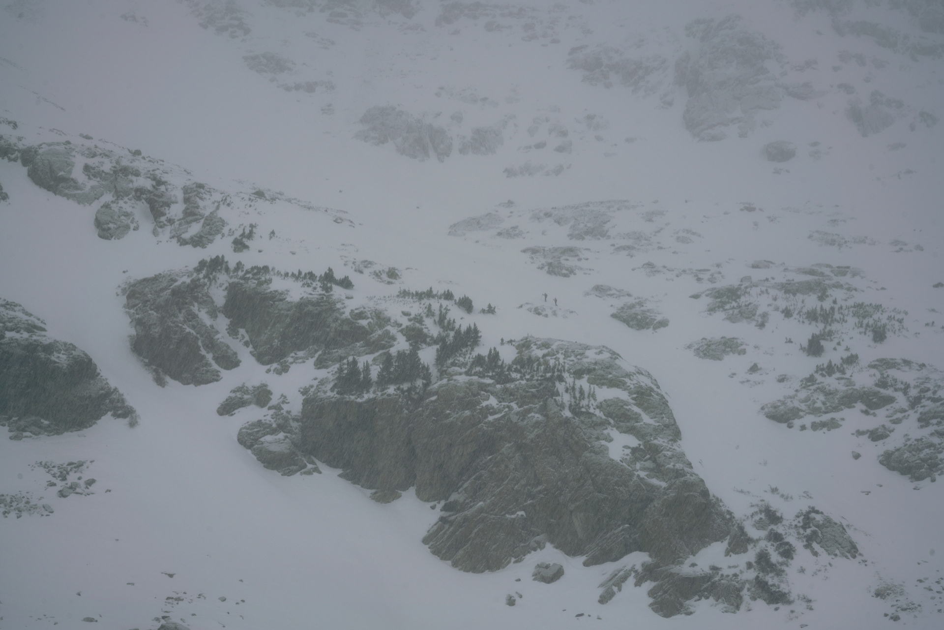
Overnight for Christmas Eve / Day at Herman Lake . About seven mile RT. First time hiking that trail. I camped near the lake next to a giant boulder (first photo). A couple hiked up Pettingel Peak early in the morning (second photo). I started hiking up towards Pettingel Peak as well but without ice axe or trekking poles it was a bit too steep. Good workout though.

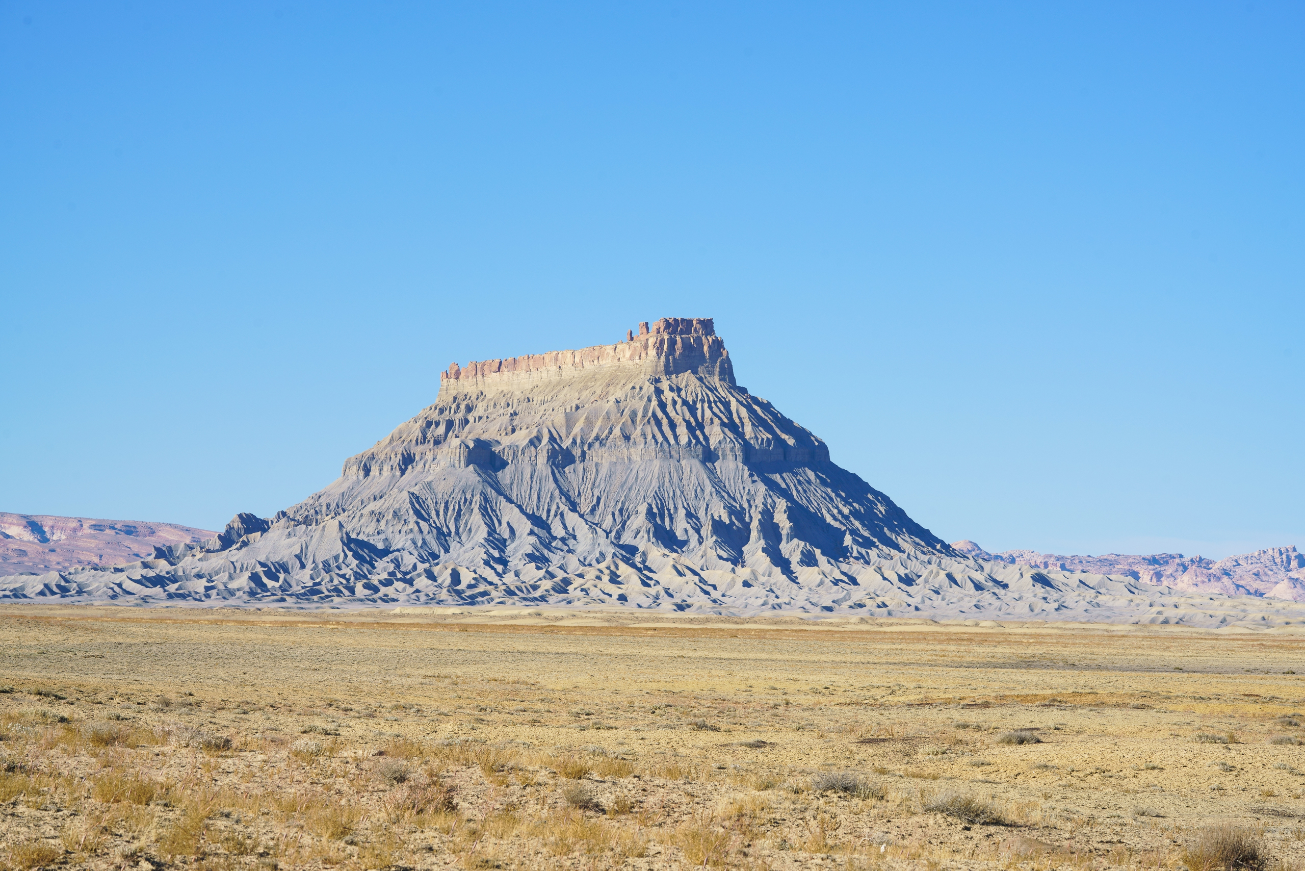
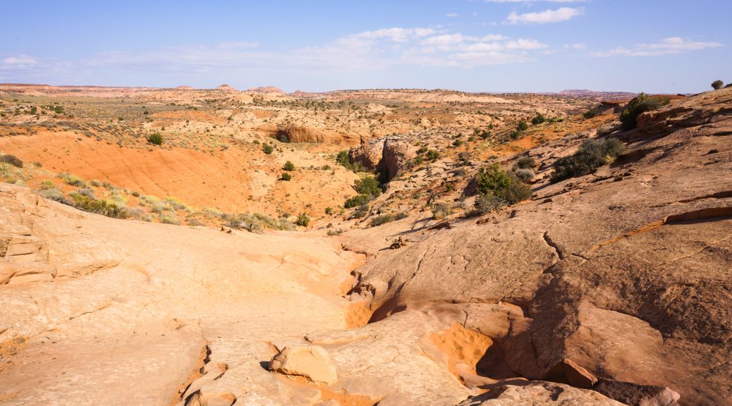
3/3 – Reflection Canyon is also located in Grand Staircase Escalante National Monument.
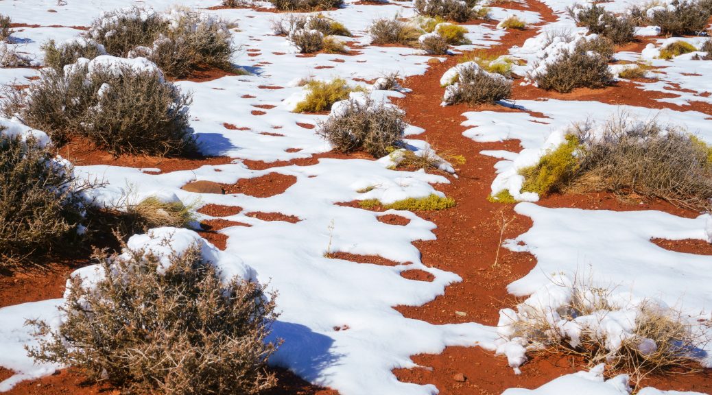
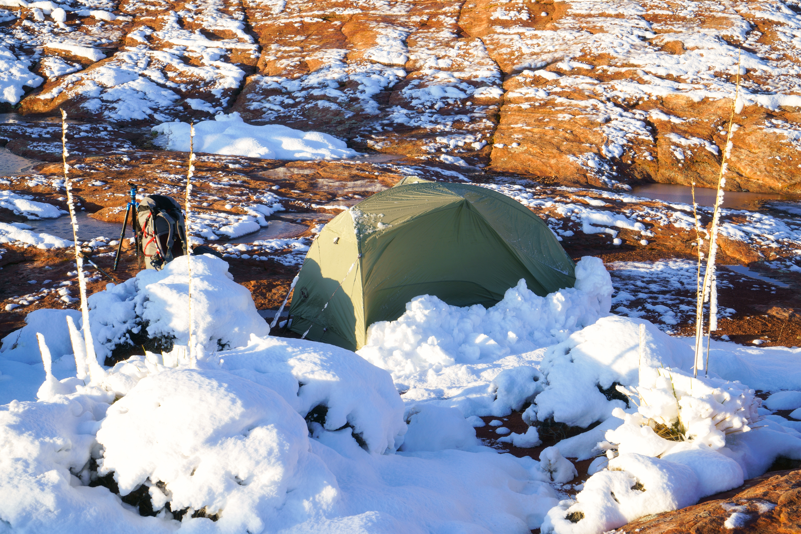
The idea for the weekend was to do a night photoshoot of the milky way in one of the most remote and darkest place in Utah…during a new moon. The weather was supposed to be mostly sunny. It wasn’t. It turned to rain and snow storm overnight while I was camping 7 miles away from the car…after a 75 mile dirt road 🙂
Oh well, I took photos of the snow instead. Better luck next time. Truth is; two feet of snow and I would have been cast away for days with no means of communication. I was quite lucky in that regard.
I spent part of the night pounding on the ceiling of the tent so the snow would not accumulate. I feared there would be more snow but it wasn’t too bad. Just crazy slippery and obviously no trail to be found most of the way…
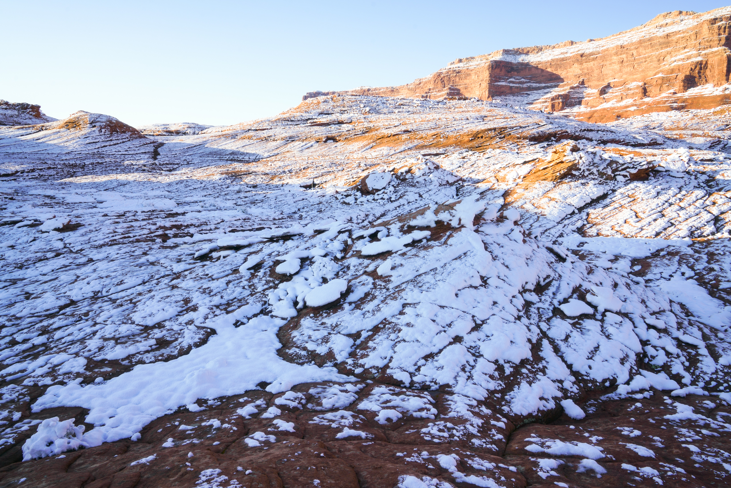
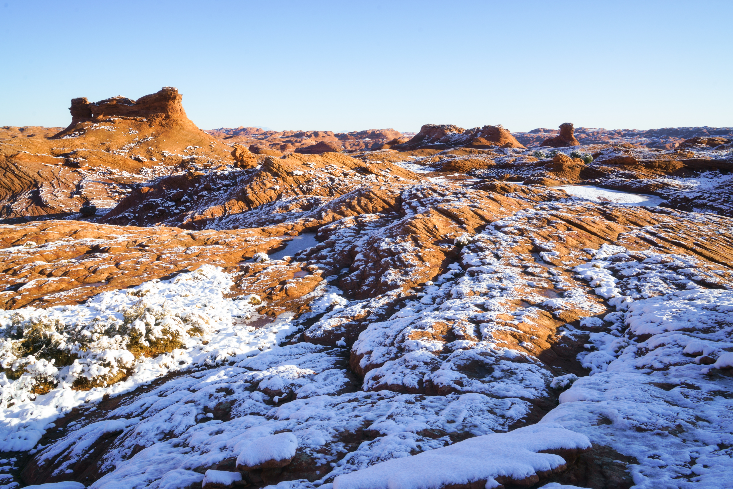
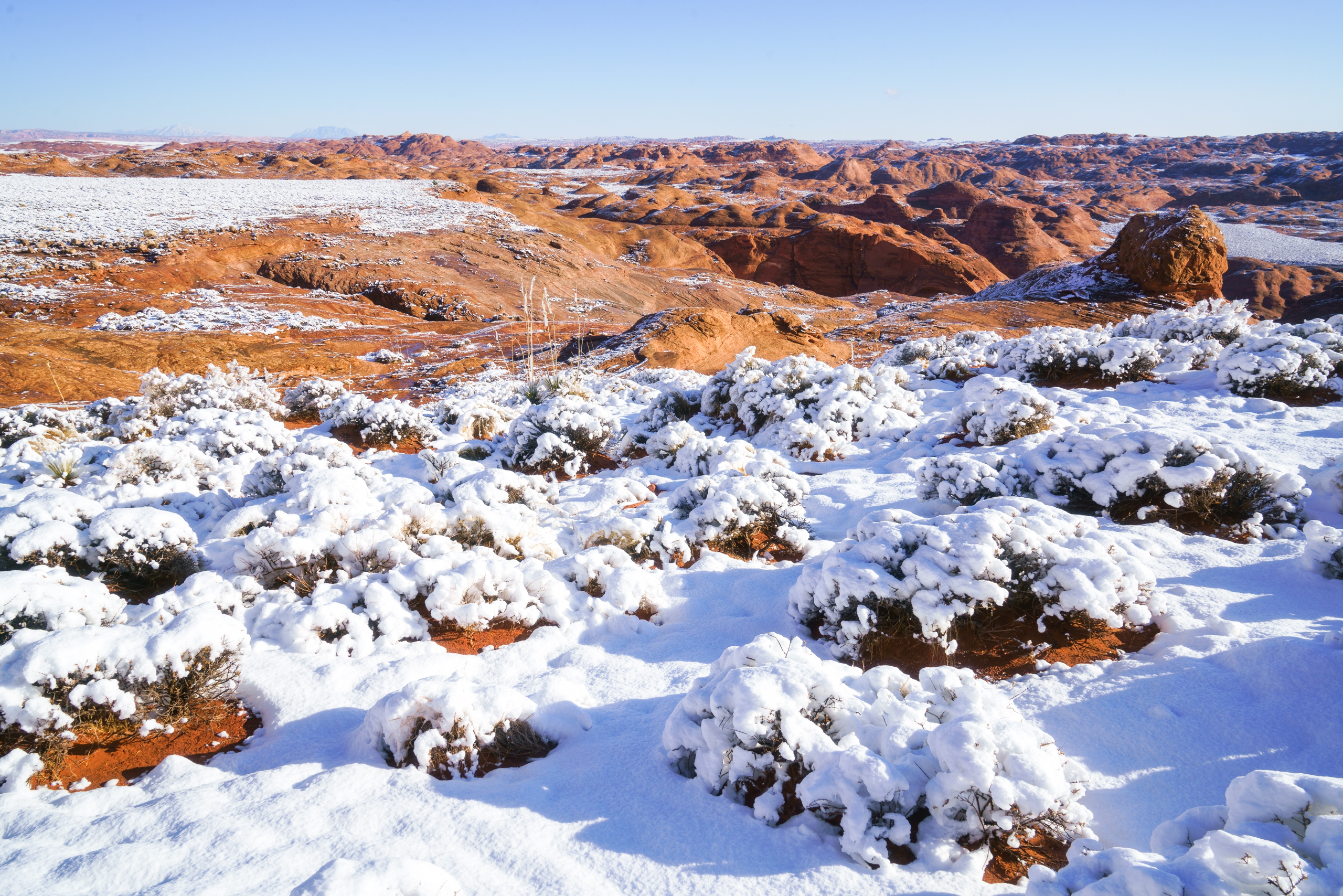


This area of Utah is amazing. Honestly the entire state is just phenomenal.
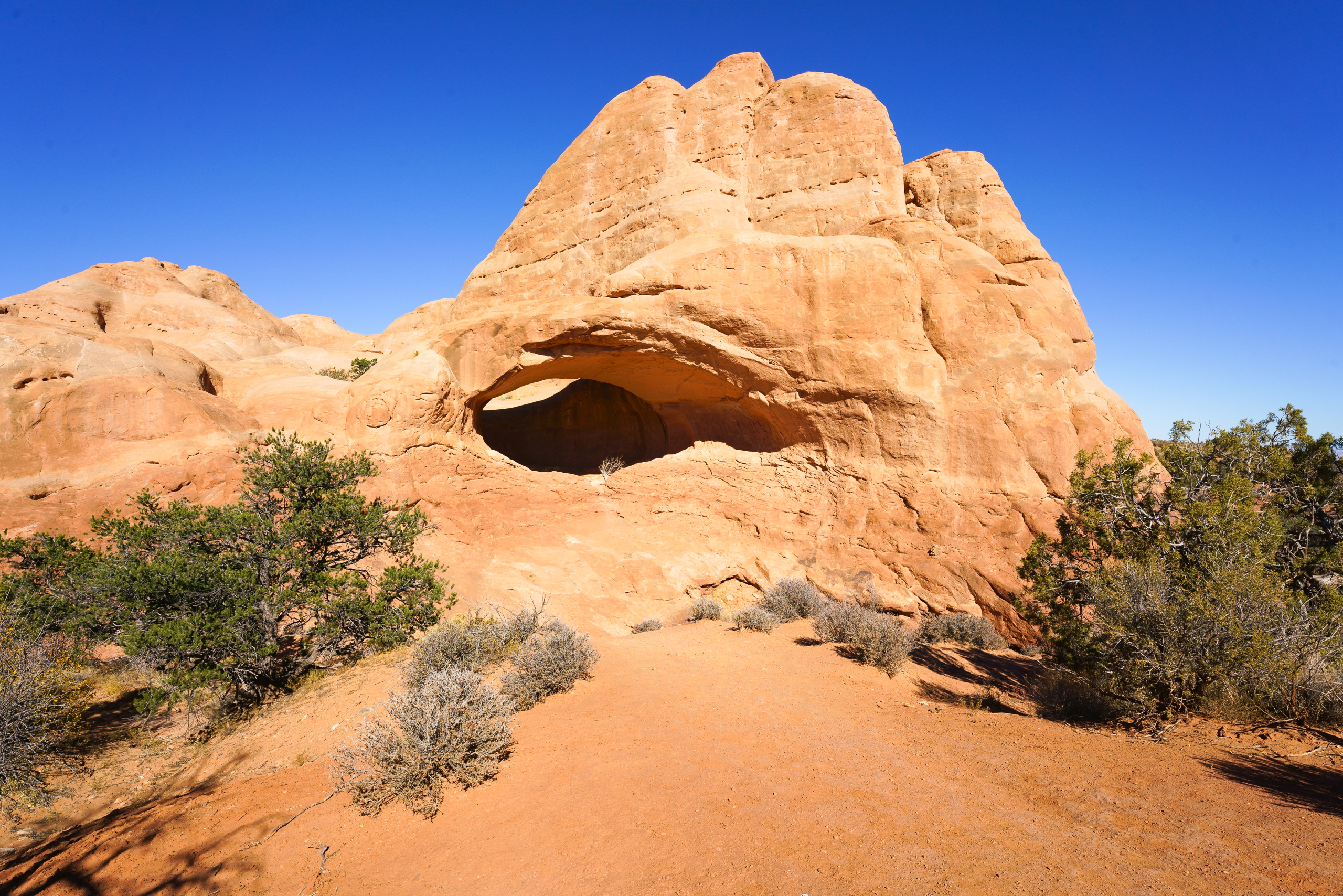
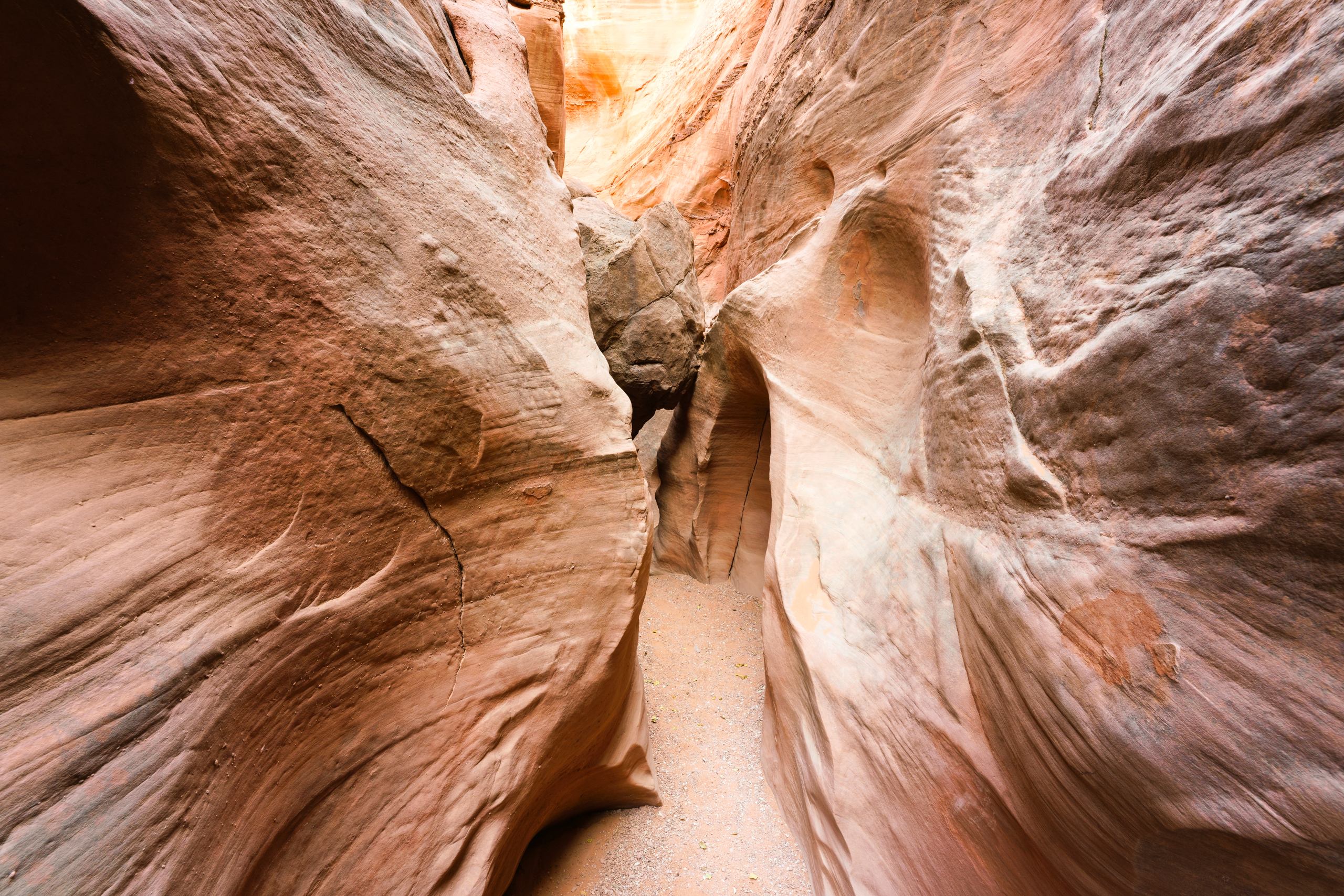
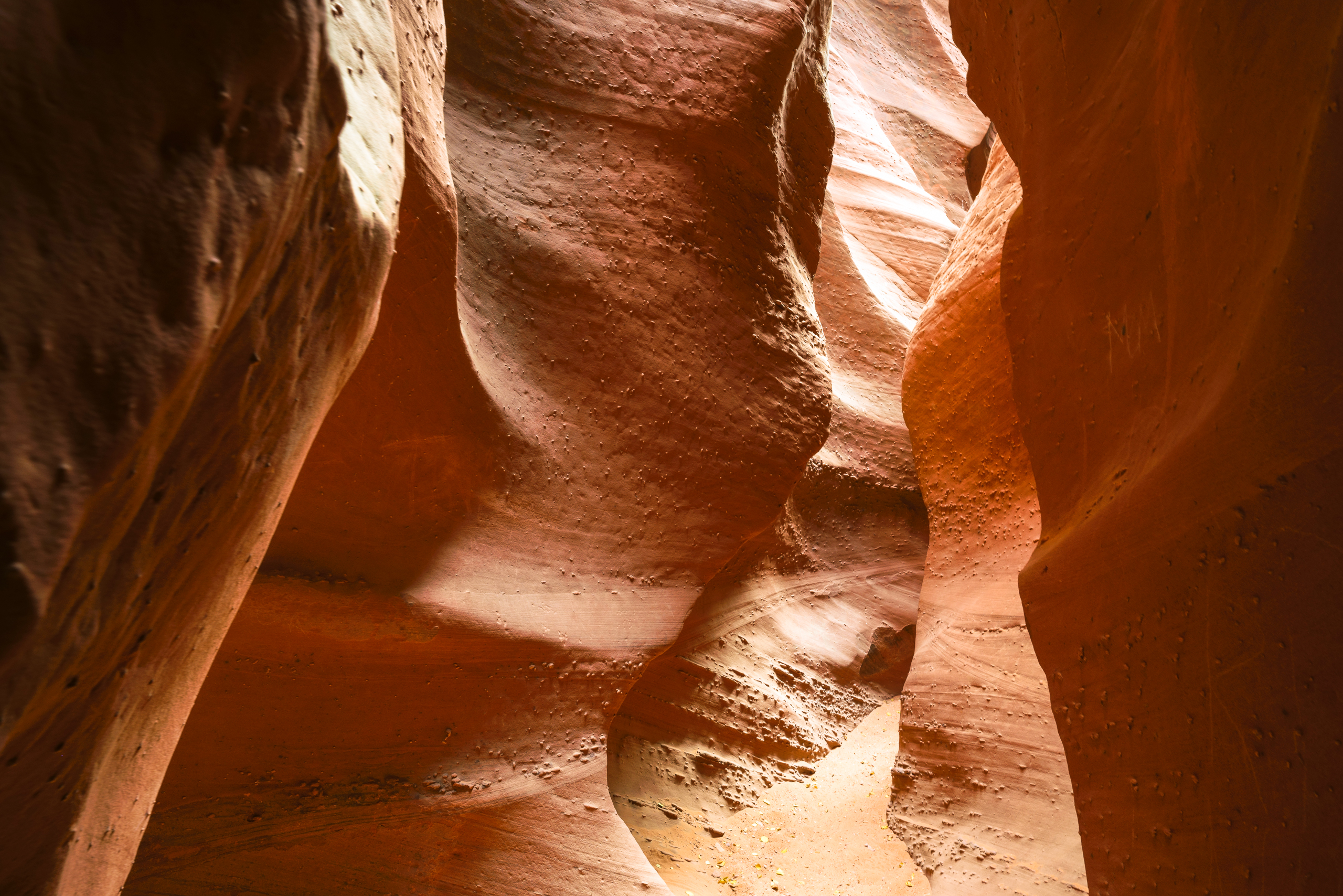
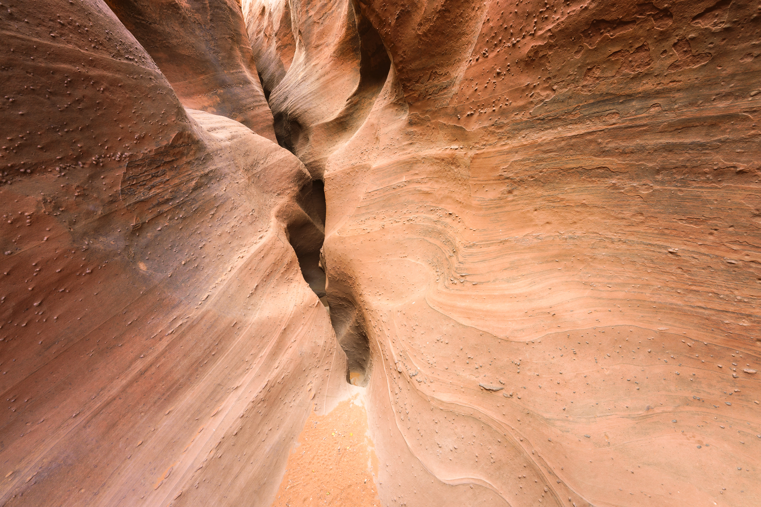
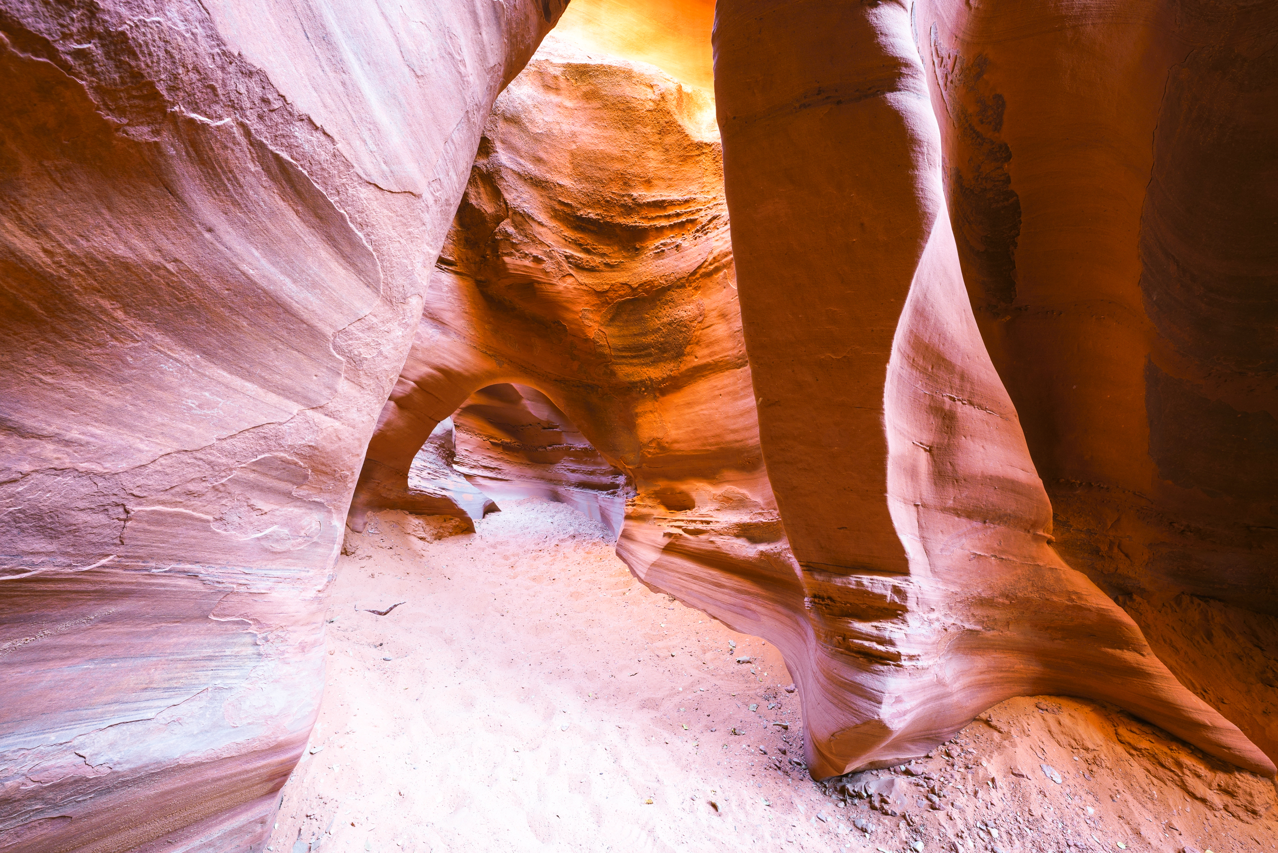
2/3 – Peek-a-Boo & Spooky Slot Canyon
I’ve never done a slot canyon so I thought I’d try.
I was a bit surprised 🙂 Much narrower than expected plus some climbing on two locations. I was carrying a backpack with $8000 worth of camera gear and a tripod. Oops. Everything went fine though. These slots were 12 inch wide at time. A bit tricky to navigate.
These two canyons are located along The Hole In The Rock road in Grand Staircase Escalante National Monument


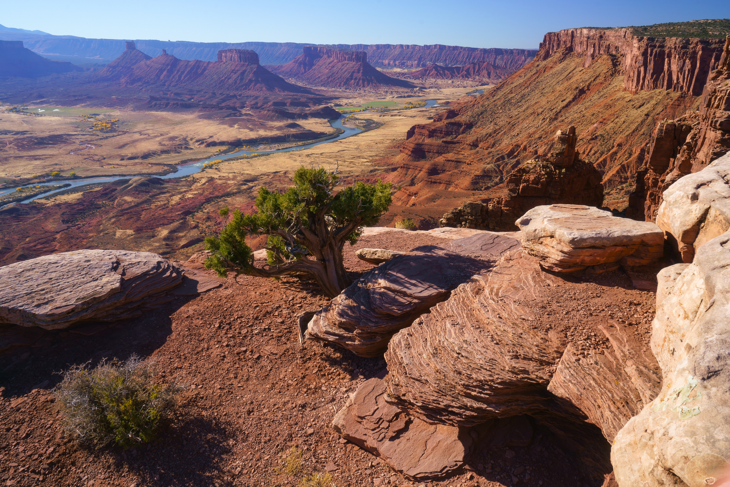
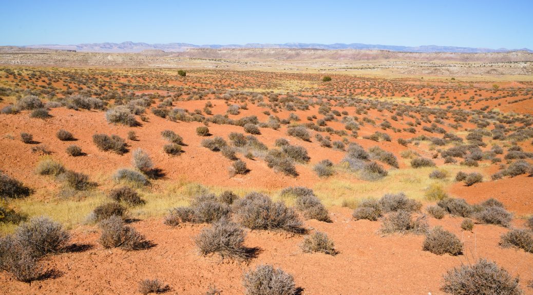
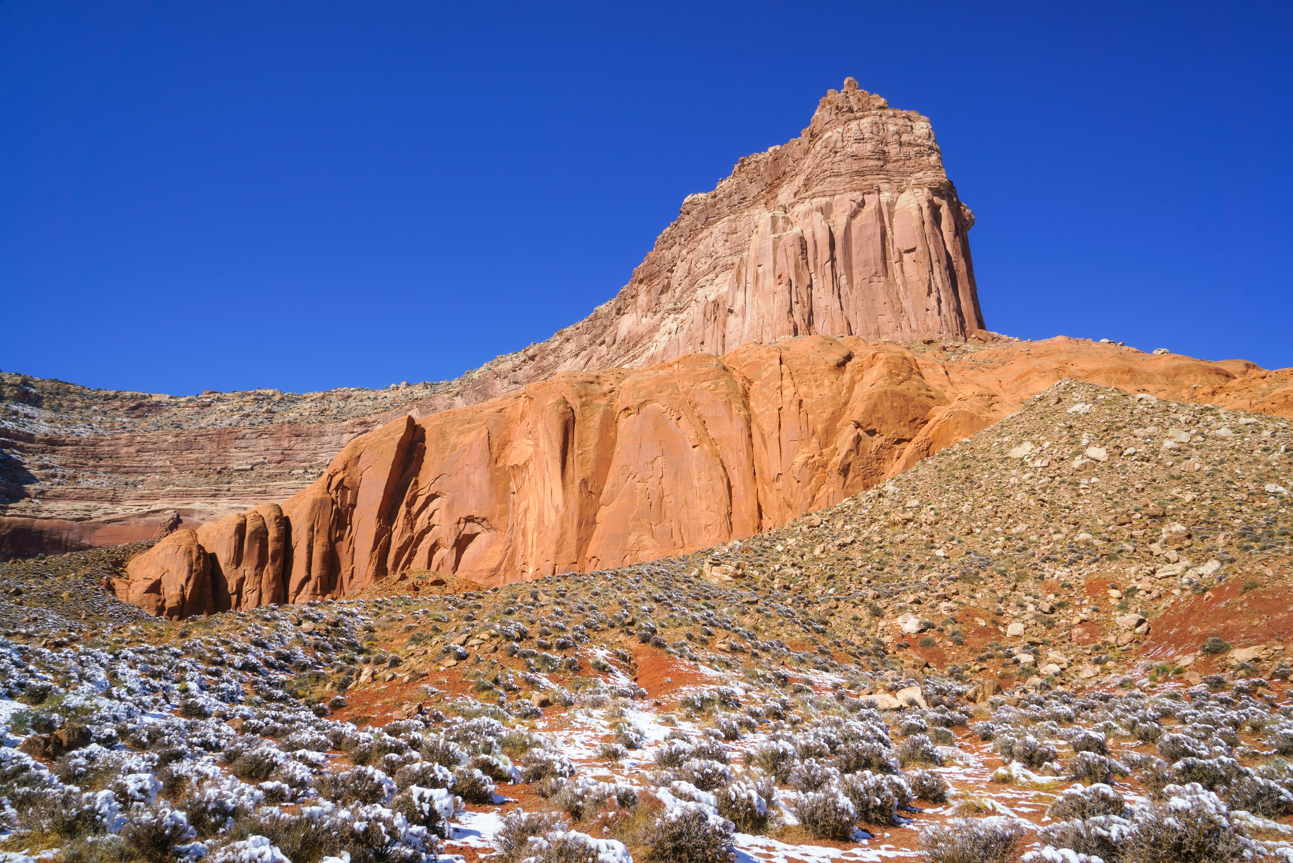
1/3 – Castle Valley and Capitol Reef, Utah
Clearly, a three day weekend is way, way too short for a trip to southern Utah but for now that’s all I have. This should have been a five day trip at least.
The first shot is a view of Castle Valley, Utah seen from the Dome Plateau. I got there via a fairly rough 4×4 road but that was unecessary. The highlands Road is an easy dirt road that goes to the same place. Live and learn.